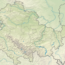
Großer Beerberg, Mountain summit in Suhl, Germany
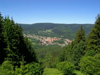
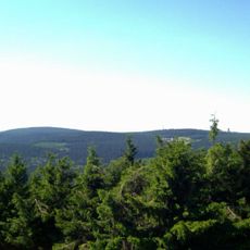
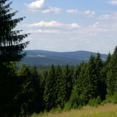
The Großer Beerberg is Thuringia's highest mountain at 982.9 meters elevation, rising within the Thuringian Forest region. Its summit area is marked by moorland that shapes the surrounding terrain.
The Großer Beerberg is built of rhyolite, a silica-rich volcanic rock of the Oberhof Formation in the lower Rotliegend. Uranium-lead dating of Oberhof Formation volcanics elsewhere gives ages of 296 and 295 million years. The rock was later uplifted with the Thuringian Forest as a horst block in the Tertiary, so the present summit shape is unrelated to the Permian volcanism. Until 1945 part of the mountain lay in the Prussian district of Schleusingen.
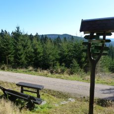
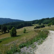
The Rennsteig long-distance path crosses the mountain between Oberhof and Schmücke, and walkers on this ridge section pass close to the Beerbergmoor. The moor lies on the summit region and is protected within the Vessertal-Thüringer Wald Biosphere Reserve; it has been a nature reserve since 1939.
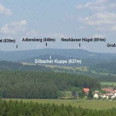
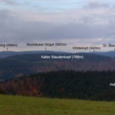
The Rennsteig long-distance path between Oberhof and Schmücke crosses the mountain, and a small platform at Plänckners Aussicht below the summit gives views to the south and southwest. The highest point itself lies in the Beerbergmoor nature reserve and may not be entered.
The area holds one of the few surviving moorlands in the Thuringian Forest, protected as a natural reserve. These specialized habitats allow visitors to spot rare plants and animals adapted to wet conditions.
The community of curious travelers
AroundUs brings together thousands of curated places, local tips, and hidden gems, enriched daily by 93,099 contributors worldwide.