Graben Tour

Log in to your account

AroundUs is a community-driven map of interesting places, built by curious explorers like you. It grows with every review, story, and photo you share.
Connect to save your favorite spots, contribute locations, and create personalized routes.
Continue with Google
Continue with Apple
Continue with X
Continue with Facebook
Continue with email
By continuing, you accept our Terms and Conditions and our Privacy Policy
Create an account

Graben Tour

Add to collection
Map
Suggest a change
Share

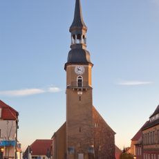
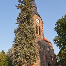
Graben Tour, Mining trail in Mittelsachsen, Germany

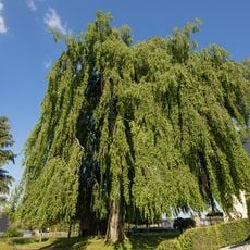
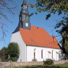
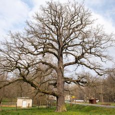
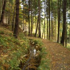
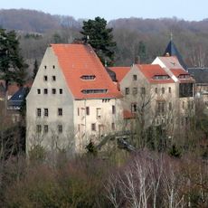
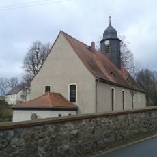
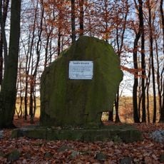
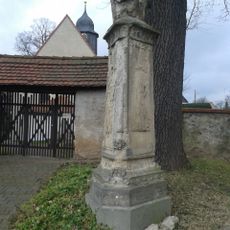
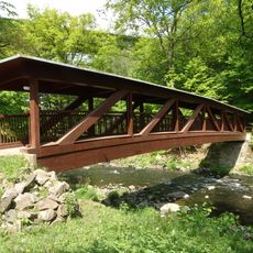
The Graben Tour is a hiking trail in the Saxon mining region that follows an old water management system that once powered mining operations. The path leads through woodland and open terrain, connecting several historical sites and structures together.

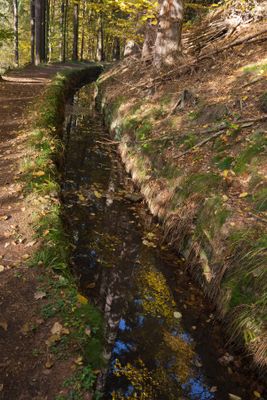
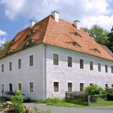
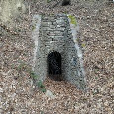
The water system was built in the 1840s to power the machinery at shafts in the Rothschönberg area. This construction was part of the technical development of mining in Saxony during the 19th century.

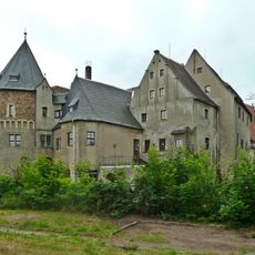
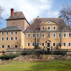
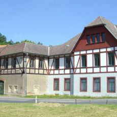
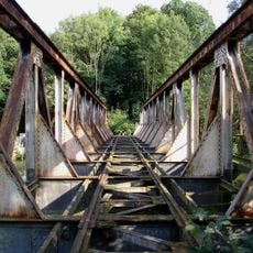
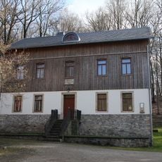
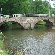
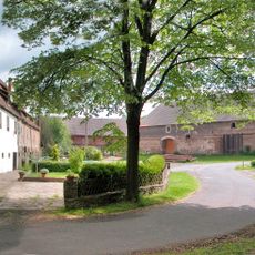
The route passes industrial buildings and water wheels that show how mining workers organized their labor and what equipment they relied on. These structures tell the story of the people who lived and worked in this area.

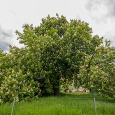
The trail begins at Wünschmannmühle and is marked with signs leading through wooded areas and open landscape. It is wise to wear sturdy footwear, as the ground is varied and can become slippery in wet weather.

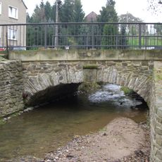
The trail preserves visible sections of the original water channels through which raw materials were transported, which hikers can still discover today. These old waterways show how water served not only as an energy source but also as a transport system for mining operations.

Location: Mittelsachsen

GPS coordinates: 51.00740,13.36670

Latest update: December 13, 2025 17:10

Photos
Around this place
Reinsberg Castle
Germany

Reinsberg Castle

798 m
Bieberstein Castle
Germany

Bieberstein Castle

1.7 km
Wünschmannmühle
Germany

Wünschmannmühle

2.5 km
Trauer Buche Krummenhennersdorf
Germany

Trauer Buche Krummenhennersdorf

3 km
Dorfkirche Hirschfeld
Germany

Dorfkirche Hirschfeld

3.6 km
Zollhauseiche
Germany

Zollhauseiche

2.1 km
Sachgesamtheit Rittergut Oberschaar mit folgenden Einzeldenkmalen: Herrenhaus eines Rittergutes mit rückwärtigem Anbau mit Wappen und Keller (siehe Einzeldenkmalliste Zum Rittergut 6, Obj. 08991440), Wirtschaftsgebäude (siehe Einzeldenkmalliste Zu
Germany

Sachgesamtheit Rittergut Oberschaar mit folgenden Einzeldenkmalen: Herrenhaus eines Rittergutes mit rückwärtigem Anbau mit Wappen und Keller (siehe Einzeldenkmalliste Zum Rittergut 6, Obj. 08991440), Wirtschaftsgebäude (siehe Einzeldenkmalliste Zu

4.2 km
Schmalspurbahnbrücke  Freital-Potschappel–Wilsdruff–Nossen
Germany

Schmalspurbahnbrücke Freital-Potschappel–Wilsdruff–Nossen

2.4 km
Rosskastanie Dittmannsdorf
Germany

Rosskastanie Dittmannsdorf

2.6 km
Dorfkirche Neukirchen (Reinsberg)
Germany

Dorfkirche Neukirchen (Reinsberg)

3.4 km
Rothschönberger Stolln (Sachgesamtheit); 4. Lichtloch; Grabentour Reinsberg
Germany

Rothschönberger Stolln (Sachgesamtheit); 4. Lichtloch; Grabentour Reinsberg

55 m
Kirche Siebenlehn
Germany

Kirche Siebenlehn

4.8 km
Kandlerkirche Krummenhennersdorf
Germany

Kandlerkirche Krummenhennersdorf

2.9 km
Esche Krummenhennersdorf
Germany

Esche Krummenhennersdorf

4.3 km
Rothschönberger Stolln (Sachgesamtheit); 4. Lichtloch; Grabentour Reinsberg
Germany

Rothschönberger Stolln (Sachgesamtheit); 4. Lichtloch; Grabentour Reinsberg

40 m
Schloss Reinsberg
Germany

Schloss Reinsberg

812 m
4 Linden Dittmannsdorf
Germany

4 Linden Dittmannsdorf

3.6 km
Station 96 Obergruna
Germany

Station 96 Obergruna

4.4 km
Salomonis Stollen
Germany

Salomonis Stollen

1.8 km
Linde bei Dittmannsdorf
Germany

Linde bei Dittmannsdorf

3.1 km
Bobritzschbrücke Krummenhennersdorf
Germany

Bobritzschbrücke Krummenhennersdorf

2.7 km
Rittergut Oberschaar
Germany

Rittergut Oberschaar

4.2 km
Station 75 Neukirchen
Germany

Station 75 Neukirchen

3.6 km
Dorfkirche Obergruna
Germany

Dorfkirche Obergruna

3.5 km
Memorial stone for the naturalist Amalie Dietrich with surrounding open space Amalie-Dietrich-Höhe
Germany

Memorial stone for the naturalist Amalie Dietrich with surrounding open space Amalie-Dietrich-Höhe

4.2 km
Denkmal für die Gefallenen des Ersten Weltkrieges Dorfstraße 52 (neben)
Germany

Denkmal für die Gefallenen des Ersten Weltkrieges Dorfstraße 52 (neben)

3.5 km
Rittergut Krummenhennersdorf
Germany

Rittergut Krummenhennersdorf

2.8 km
Siebenlehner covered bridge
Germany

Siebenlehner covered bridge

4.7 km
Show the full map
Reviews

Visited this place? Tap the stars to rate it and share your experience / photos with the community! Try now! You can cancel it anytime.

« Graben Tour - Mining trail in Mittelsachsen, Germany » is provided by Around Us (aroundus.com). Images and texts are derived from Wikimedia project under a Creative Commons license. You are allowed to copy, distribute, and modify copies of this page, under the conditions set by the license, as long as this note is clearly visible.

Discover hidden gems everywhere you go!

From secret cafés to breathtaking viewpoints, skip the crowded tourist spots and find places that match your style. Our app makes it easy with voice search, smart filtering, route optimization, and insider tips from travelers worldwide. Download now for the complete mobile experience.

Around Us App Screenshot

A unique approach to discovering new places

Le Figaro

All the places worth exploring

France Info

A tailor-made excursion in just a few clicks

20 Minutes