Grüner Heiner, Mountain and park in Stuttgart, Germany.
Grüner Heiner is an artificial rubble hill on the boundary between Stuttgart-Weilimdorf and Korntal-Münchingen, beside the A 81. Its summit reaches 397.3 m above sea level, 80 to 90 m above the surrounding land. A 66 m wind turbine built in 1999 and feeding the grid since 16 March 2000 stands on the top, and a metal viewing platform on the crest looks toward the Solitude, the Mühlacker transmitter and the Heuchelberg.
The hill was heaped up in the 1950s, mainly from large quantities of construction rubble, on the boundary between Stuttgart-Weilimdorf and Korntal-Münchingen. Locals first called it Heiner and soon made it a destination for outings; once grass and other vegetation covered it, its greener look earned it the nickname Grüner Heiner. In 1994 the city noted the summit's high wind yield, and a turbine was built from late October 1999, feeding power into the grid from 16 March 2000.
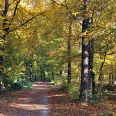
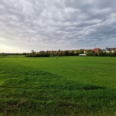
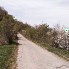
The hill gets its name from the green vegetation that covers it and sets it apart from the surrounding landscape. Today visitors find a wooded area that serves as a retreat from the city and attracts people throughout the year.
The summit lies on the boundary between Stuttgart-Weilimdorf and Korntal-Münchingen, just west of Korntal by the A 81. A metal viewing platform on the top gives views to Solitude (5 km), the Mühlacker transmitter (22 km) and the Heuchelberg (33 km) in clear weather. The hill is a local recreation area used by kite and model flyers, who rely on the steady wind.
The 1999 turbine, built by Gedea Windkraft Grüner Heiner KG, fed its first electricity into the public grid on 16 March 2000. Its 500 kW output averages about 87 kW, roughly the consumption of 200 households. A 2022 decision plans a 150 m replacement turbine, up from 66 m, with 4.26 MW output, expected to run from late 2028.
The community of curious travelers
AroundUs brings together thousands of curated places, local tips, and hidden gems, enriched daily by 94,367 contributors worldwide.