Bleßberg, mountain summit in Thuringia, Germany
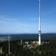
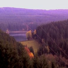
Bleßberg is a forested mountain in Thuringia that rises to about 867 meters at its peak. A transmission tower stands at the summit, visible through the surrounding woodland and marking the highest point of the area.
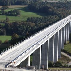
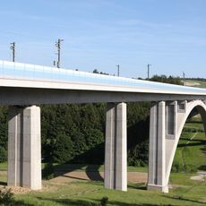
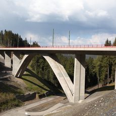
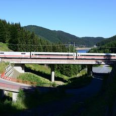
The summit gained its first major structure in 1976, when a 195-metre reinforced-concrete broadcasting tower was completed for radio, mobile and DVB-T transmission. On 30 March 2008, miners driving the 8,314-metre Bleßberg railway tunnel of the Nuremberg–Erfurt high-speed line broke into a previously unknown dripstone cave, later named Bleßberghöhle.
The Bleßberg lies on the Rhine-Weser watershed: the Itz rises on its slopes above Stelzen and flows to the Main, while the Saar springs near the saddle to the Dürren Fichte and feeds the Weser. The Rennsteig ridge trail passes over the massif's northern flank but not over the summit itself, which is reached from Siegmundsburg by the Bleßstrasse.
The mountain is accessible through marked hiking trails that begin near parking areas in the vicinity. Winter weather requires proper gear and preparation before attempting the ascent.
The summit's 195-metre concrete tower, finished in 1976, carries the highest point in Thuringia at 1062 metres above sea level, though the tower itself is closed to the public. During tunnelling for the Nuremberg–Erfurt high-speed line, miners broke into the Bleßberghöhle cave on 30 March 2008, 330 metres below the surface.
The community of curious travelers
AroundUs brings together thousands of curated places, local tips, and hidden gems, enriched daily by 94,250 contributors worldwide.