Hesselberg, Hill and geotope in Middle Franconia, Germany
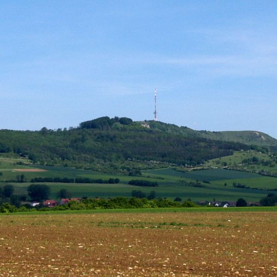
Hesselberg is the highest point in Middle Franconia at 689 meters and sits roughly 60 kilometers southwest of Nuremberg. The mountain consists of Jurassic limestone and offers clear views across the surrounding landscape from its summit.
People lived on this mountain during Stone and Bronze Age times, as shown by archaeological remains found there. Fortification structures from the Urnfield period demonstrate that the site later served as a strategic location.
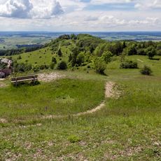
The name Hesselberg evolved from Öselberg, probably meaning "bleak mountain", via Eselsberg. The eastern plateau, called Osterwiese or Röckinger Berg, is used today as a launch site for model aircraft and hang-gliders and as a viewing platform for walkers. The wooded eastern spur Schlössleinsbuck, the "Little Hesselberg", is the subject of local legends passed down over generations.
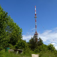
The central section with the main peak and transmitter tower was a US Army restricted area until 1994 and has been accessible again since then. The woodless eastern plateau, called Osterwiese or Röckinger Berg, is the main tourist area and serves as a launch site for model planes and hang-gliders. A geological nature trail starts on the western slope, where the Posidonia schist outcrop may not be searched for fossils.
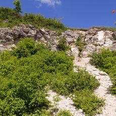
The former quarry on the mountain and the Dogger outcrop are separately listed geotopes. In the Posidonia shale near the start of the geological trail, fossils of large animals such as ichthyosaurs have been found, and collecting fossils there is prohibited.
The community of curious travelers
AroundUs brings together thousands of curated places, local tips, and hidden gems, enriched daily by 93,832 contributors worldwide.