Fischland, Coastal isthmus in Vorpommern-Rügen District, Germany.
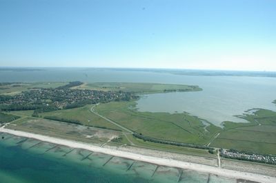
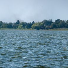
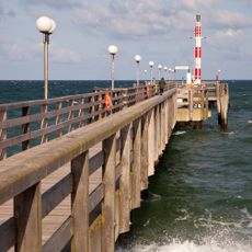
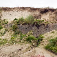
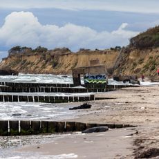
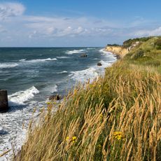
Fischland is a narrow strip of land along the Baltic Sea coast in Vorpommern-Rügen that divides two bodies of water. Its western side features steep cliffs, while the eastern shore shows flat banks with low vegetation.
This strip of land was originally an island until the 14th century, when Hanseatic merchants and traders filled in channels to connect the separate masses. This deliberate change linked what were once distinct waterside settlements into a single landform.
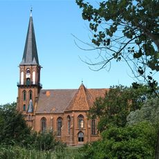
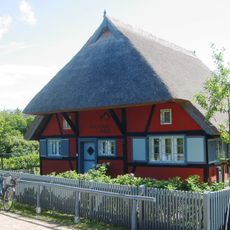
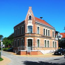
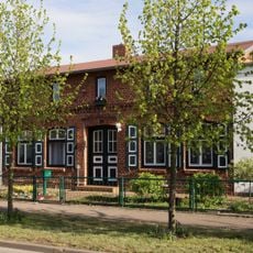
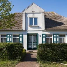
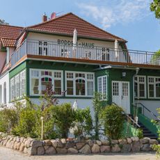
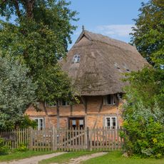
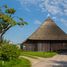
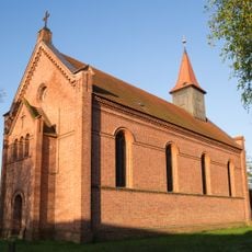
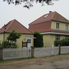
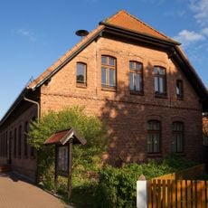
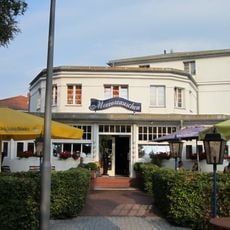
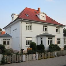
The villages here preserve maritime traditions and fishing customs that remain visible in local celebrations and daily life. Residents maintain a deep connection to the sea that shapes how they live and work together.
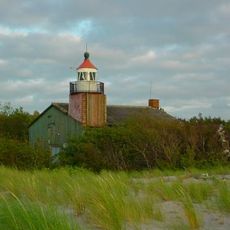
The strip is reachable by coastal roads from nearby towns, and buses connect the villages regularly to other settlements in the region. Visitors on foot can follow paths along both shores, each offering different views and walking experiences.
An overlooked feature here is the Bakelberg elevation near Althagen, which sits unexpectedly high despite being surrounded by low-lying shores on both sides. This modest rise marks the highest point across the entire narrow landform.
The community of curious travelers
AroundUs brings together thousands of curated places, local tips, and hidden gems, enriched daily by 60,000 contributors worldwide.