Elten, District in Emmerich am Rhein, Germany
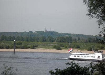
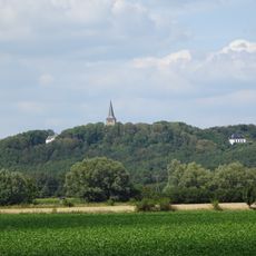
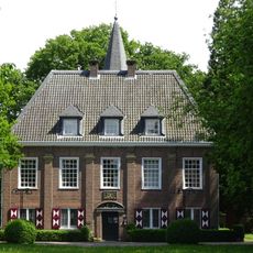
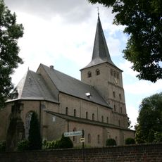
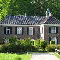
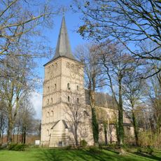
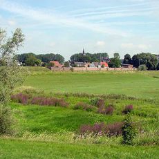
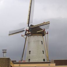
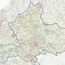
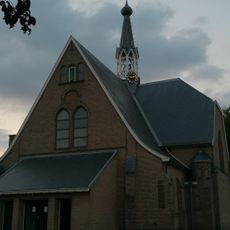
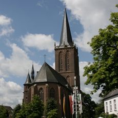
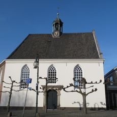
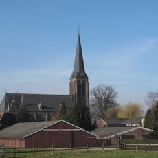
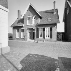
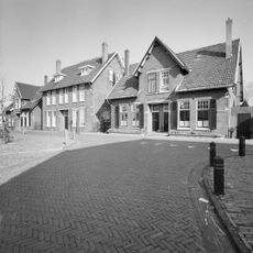
Elten is a district in Emmerich am Rhein, shaped by the 82-meter-high Eltenberg and St. Vitus Church, while Niederelten contains St. Martin's Church and the Möllenbölt mill. The area spreads along the Rhine with different residential zones and historic landmarks.
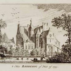
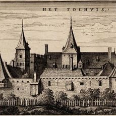
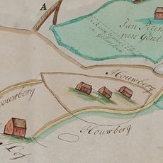
The place was founded in 973 as a women's convent and shaped the region for centuries. After World War II, it stood under Dutch administration from 1949 to 1963 before returning to German control.
The district hosts annual celebrations like Midsummer Night and November Light festivals that draw visitors from both Germany and the Netherlands. These events shape community life and bring people together to mark local traditions.
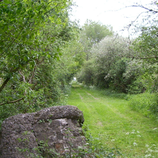
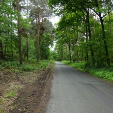
The area offers access to health facilities, swimming areas, and Kneipp basins along with an extensive network of hiking trails. Visitors find outdoor fitness stations and various nature paths to explore.
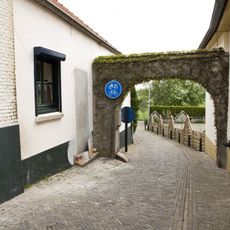
Behind St. Vitus Church stands the STEIN Gate with granite wings framing views of the Rhine Valley and a 350-year-old Baroque garden obelisk. This installation offers an unexpected vantage point over the surrounding landscape.
Location: Emmerich am Rhein
Location: Kleve
Elevation above the sea: 19 m
GPS coordinates: 51.87111,6.15972
Latest update: December 20, 2025 16:19
Huize Babberich
4.4 km
Eltenberg
1.1 km
Tolhuis
2.9 km
Schlößchen Borghees
4.4 km
Elten
1.1 km
Bijvanck
4.3 km
Stiftskirche St. Vitus
1.1 km
Houberg
1.3 km
Salmorth
4.1 km
Tolhuys Coornmolen
3.5 km
Kwartier
4.3 km
Sint-Suitbertuskerk
4.4 km
Die Moiedtjes
2.5 km
Schipperspoortje, Lobith
2.9 km
St. Martinus
103 m
Nederlands Hervormde Kerk, Lobith
2.9 km
Sint-Martinuskerk
4.1 km
Landschaftsschutzgebiet VO Rees
2.5 km
Dubbel woonhuis, ten behoeve van overheidsambtenaren gebouwd
4.2 km
Rijksmonument 515551
2.8 km
Hoofdstraat 28, Tolkamer
4.4 km
Beeksg 40, Babberich
4 km
Historische tuin- en parkaanleg van de buitenplaats "Babberich"
4.3 km
Dubbel woonhuis, ten behoeve van overheidsambtenaren gebouwd
4.3 km
Dubbel woonhuis gebouwd op een T-vormige plattegrond en bestaande uit een eenlaags hoofdbouwmassa onder een overstekend zadeldak gedekt met gesmoorde en rode muldenpannen
4.3 km
Duiventoren, onderdeel van de buitenplaats "Babberich"
4.5 km
Oorlogsmonument
2.5 km
Dienstvleugel van de buitenplaats "Babberich"
4.4 kmVisited this place? Tap the stars to rate it and share your experience / photos with the community! Try now! You can cancel it anytime.
Discover hidden gems everywhere you go!
From secret cafés to breathtaking viewpoints, skip the crowded tourist spots and find places that match your style. Our app makes it easy with voice search, smart filtering, route optimization, and insider tips from travelers worldwide. Download now for the complete mobile experience.
A unique approach to discovering new places❞
— Le Figaro
All the places worth exploring❞
— France Info
A tailor-made excursion in just a few clicks❞
— 20 Minutes