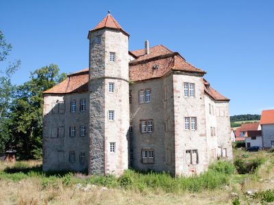
Wasserschloss Netra, Water castle in Netra, Germany
Wasserschloss Netra is a water castle in Ringgau featuring Renaissance elements including a mansard roof, four corner towers, and a hexagonal staircase tower on its southwestern side. The structure sits within water-filled moats that originally surrounded all sides and gave the building its defensive character.
The castle was originally held by the Lords of Netra but passed to the Lords of Boyneburg-Hohnstein in 1558, who built the current Renaissance structure between 1590 and 1600. This transformation reflected the shift from pure defense to impressive residence.
The castle shows how wealthy noble families in the 1600s expressed their power and refinement through architecture. Its water setting and ornate design reflect the desire to display both strength and sophistication to visitors and rivals.
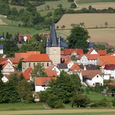
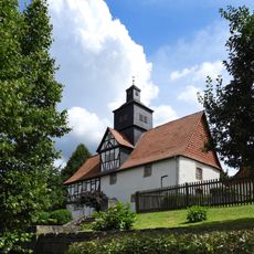
The castle sits at Schloßstraße 9-12 in Ringgau-Netra and can be viewed from the surrounding public streets since it remains privately owned. The best views come from the paths and roads circling the property.
The northern section of the original water moat was filled in 1847, giving the fortification an asymmetrical water layout instead of its original all-around defense. The three remaining water-filled sides still display the protective design as once imagined by its builders.
The community of curious travelers
AroundUs brings together thousands of curated places, local tips, and hidden gems, enriched daily by 60,000 contributors worldwide.