
Buhlert, mountain
Location: Simmerath
Elevation above the sea: 505 m
GPS coordinates: 50.65780,6.35635
Latest update: April 6, 2025 14:54
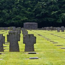
Kriegsgräberstätte Vossenack
2 km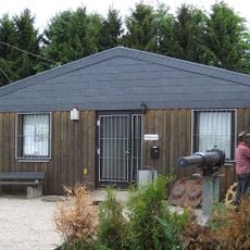
1944 Hürtgen Forest Museum
3.4 km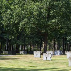
Ehrenfriedhof Hürtgen
5.2 km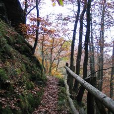
Wildnis Trail
3.8 km
Wildpark Schmidt
5.1 km
St. Hubertus
3.8 km
Stauanlage Eiserbach
6.1 km
St. Josef
3.3 km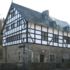
Junkerhaus
997 m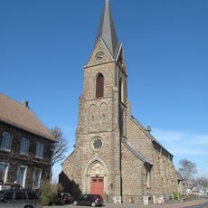
Saint John the Baptist Church
6.3 km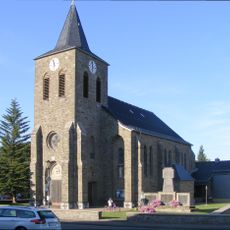
Saint Apollonia Church
3.4 km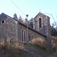
Marienkapelle Simonskall
1.1 km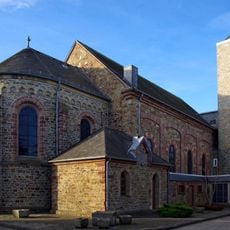
Heilig Kreuz
6.1 km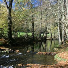
Kalltal und Nebentäler
3.1 km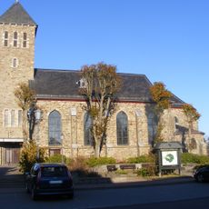
Saints Peter and Paul Church (Kesternich)
6 km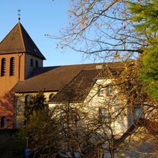
St. Barbara
5.1 km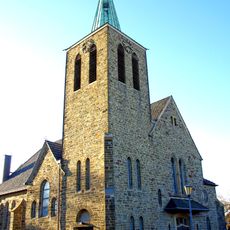
St. Matthias
3.9 km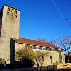
St. Mariä Empfängnis
4.3 km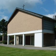
Kapelle Brandenberg
5.9 km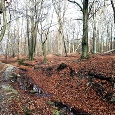
Kreitzberg
6.1 km
Kalltal und Nebentäler
2.5 km
Wehebachtalsystem mit Nebenbächen
6.1 km
LSG-Rur- und Obersee mit Ufer
5.6 km
Nationalpark-Tor Rurberg
6 km
LSG-Rurtalsperre
5 km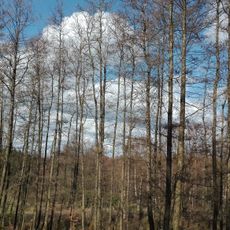
Hochfläche und Täler bei Schmidt
5.1 km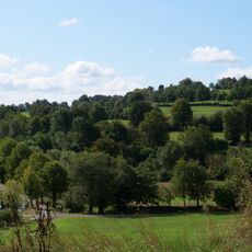
LSG-Lammersdorf Sued
6.2 km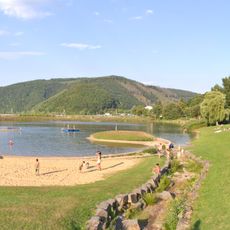
Honigberg (Eifel)
5.8 kmReviews
Visited this place? Tap the stars to rate it and share your experience / photos with the community! Try now! You can cancel it anytime.
Discover hidden gems everywhere you go!
From secret cafés to breathtaking viewpoints, skip the crowded tourist spots and find places that match your style. Our app makes it easy with voice search, smart filtering, route optimization, and insider tips from travelers worldwide. Download now for the complete mobile experience.

A unique approach to discovering new places❞
— Le Figaro
All the places worth exploring❞
— France Info
A tailor-made excursion in just a few clicks❞
— 20 Minutes