
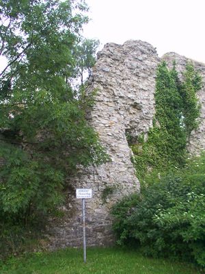
Burgruine Kohlstädt, castle ruin
Location: Schlangen
Inception: 1000
GPS coordinates: 51.82500,8.86065
Latest update: March 12, 2025 02:09

Hohlsteinhöhle
3.4 km
Bielsteinhöhle mit Lukenloch
4.2 km
Jagdschloss Oesterholz
1.5 km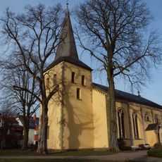
Evangelische Kirche Schlangen
2.1 km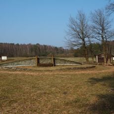
Archäologischer Lehrpfad Oesterholz
2.3 km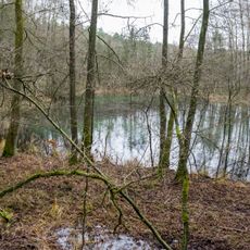
Schlänger Moor
4.3 km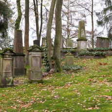
Jüdischer Friedhof
1.5 km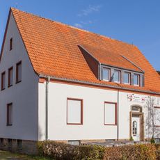
Rotkreuzgeschichtliche Sammlung in Westfalen-Lippe
2.2 km
Egge-Nord
4.2 km
Oesterholzer Bruch mit Schwedenschanze
1.7 km
Senne nördlich Oesterholz
2.5 km
Schwedenschanze
1.1 km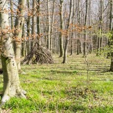
Emkental
1.5 km
LSG Forsthaus Nassesand
2.5 km
LSG-Heckenlandschaft suedlich Kohlstaedt
1.1 km
LSG Hecken-Grünlandkomplex nördlich Kohlstädt
875 m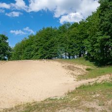
LSG Hecken-Grünlandkomplex nordöstlich Kohlstädt
1.2 km
Rosenberg
4.1 km
Strothe-Niederung
3 km
LSG Langes Tal
1.8 km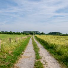
LSG Unteres Emkental
1 km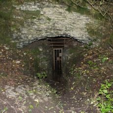
Hohlsteinhöhle
3.4 km
LSG Oberes Strothetal
3.1 km
LSG-Bachniederung nordoestlich Schlangen
1.5 km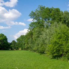
LSG Unteres Strothetal
441 m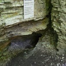
Bielsteinhöhle mit Lukenloch
4.2 km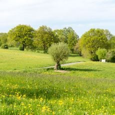
LSG Egge-Gebiet und Lipper Bergland mit Bielefelder Osning, Paderborner Hochfläche und Hellwegbörden
4.2 km
Strotheniederung
2.7 kmVisited this place? Tap the stars to rate it and share your experience / photos with the community! Try now! You can cancel it anytime.
Discover hidden gems everywhere you go!
From secret cafés to breathtaking viewpoints, skip the crowded tourist spots and find places that match your style. Our app makes it easy with voice search, smart filtering, route optimization, and insider tips from travelers worldwide. Download now for the complete mobile experience.

A unique approach to discovering new places❞
— Le Figaro
All the places worth exploring❞
— France Info
A tailor-made excursion in just a few clicks❞
— 20 Minutes