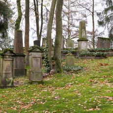
Schlangen, municipality in Germany
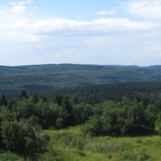
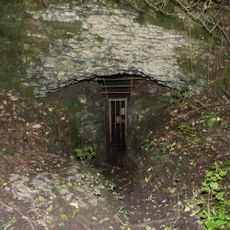
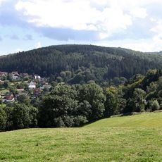
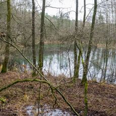
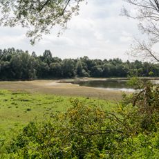
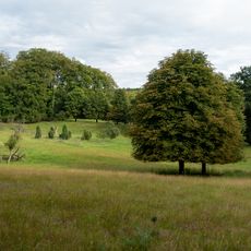
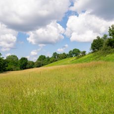
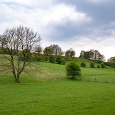
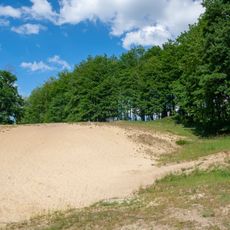
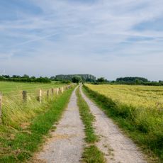
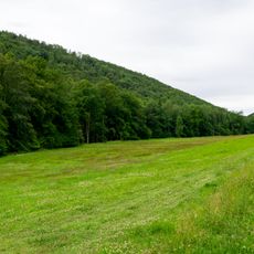
Schlangen is a municipality in Lippe located in the middle of the Teutoburger Forest and Eggegebirge nature park and consists of three villages: Schlangen, Kohlstädt, and Oesterholz-Haustenbeck. The landscape alternates between deep valleys, wide plateaus, dune fields in the Senne area, and flat plains along the Strothe river.
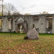
The settlement name has been documented since around 1160 and likely refers to a long, narrow strip of cultivated land. Earlier spellings such as 'Lanchel' point to this origin, while neighboring villages like Kohlstädt were shaped by their craft traditions, particularly charcoal production.
The name Schlangen likely originates from a long, narrow strip of land and has been documented since around 1160. The municipality hosts regular open events such as Easter bonfires and the Schlänger market, where residents and visitors gather to experience local traditions together.
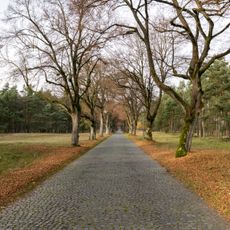
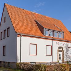
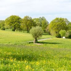
The municipality has good infrastructure with numerous recreation facilities and diverse shopping options. The narrow roads and compact layout make it easy to explore on foot or by bicycle, while proximity to neighboring towns facilitates car travel.
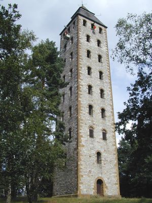
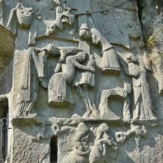
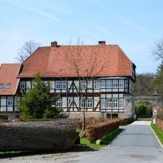
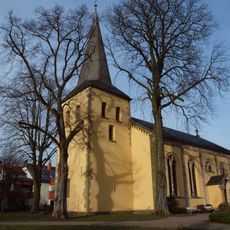
The evangelical-reformed church in Schlangen houses the oldest Christopher image in Westphalia, hidden within the church tower and representing a rare example of ancient craftsmanship. This art-historical work is often overlooked by visitors who notice only the simple exterior architecture of the building.
The community of curious travelers
AroundUs brings together thousands of curated places, local tips, and hidden gems, enriched daily by 60,000 contributors worldwide.