Chest opened
+${chestReward.xp} XP
Explorer
NOUVEAU ×${chestReward.collectible.quantity}
tapez pour fermer

See the monuments around you in AR Open chests in the app

Around Us is built for your phone — point your camera at the streets and discover the monuments and places around you in augmented reality. Around Us is built for your phone — chests unlock when you walk, explore and capture nearby places.

•

Enable Location

We need your location to show you interesting places around you

Discover nearby places

Find interesting locations and hidden gems around you

Precise directions

Get accurate directions and distances to places

Your location is never shared with other users. It's only used when you tap the location button.

Burg Lichtenberg

Log in to your account

Start exploring — it's free

Trusted by 93,944 travelers worldwide

Continue with Google
Continue with Apple
or

We will send you a code to connect

By continuing, you accept our Terms and Conditions and our Privacy Policy

Check your inbox

We've sent a pincode in your inbox. Please enter the code below.

Burg Lichtenberg

Burg Lichtenberg, Castle ruin in Lichtenberg, Saxony, Germany

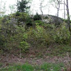
Burg Lichtenberg, also called the Burgberg, is the site of a medieval hilltop castle above Lichtenberg in the Erzgebirge, probably dating from the 14th century. The core work on a rock ledge measures about 10 by 12 metres; two section ditches and ramparts run across the southern side, and a plateau about 8 metres lower lies to the north. No buildings remain, but the earthworks are protected as a Bodendenkmal.

The castle is believed to date from the 14th century and lies on the Burgberg summit at 621.4 m above sea level, southeast above the village of Lichtenberg. Its core work sits on a rock ledge, making it a spur castle; two section ditches and ramparts run from the southwest over the south side to the southeast. No buildings survive, but the earthworks have been protected as a Bodendenkmal since 1976.

The name Lichtenberg comes from the village below the hill; the ruins lie on the Burgberg, whose summit reaches 621.4 m above sea level. Since 1976 the ramparts and ditches have been protected as a Bodendenkmal, and a yellow-marked hiking trail leads up to the site.

A yellow-marked hiking trail leads up the Burgberg; from a rock north of the summit there are views of Lichtenberg, Freiberg, the Tharandt Forest, Friedersdorf and Burkersdorf. The ramparts and ditches are protected as a ground monument, so stay on the paths. The site lies in the Erzgebirge/Vogtland Nature Park, just south of its northern boundary.

The ramparts of the two section ditches rise up to 5 metres in the middle and slope down towards both ends, while the ditches lie up to 7 metres below the core plateau. The whole earthwork has been a protected archaeological monument since 1976.

The community of curious travelers

AroundUs brings together thousands of curated places, local tips, and hidden gems, enriched daily by 93,944 contributors worldwide.

Start exploring
Location
GPS coordinates
50.81290,13.46060
Latest update
October 24, 2026 23:40
Around this place
Blockhausen
Germany

Blockhausen

2.4 mi
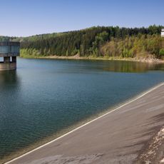
Talsperre Lichtenberg
Germany

Talsperre Lichtenberg

0.5 mi
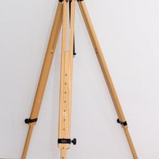
Berlebach
Germany

Berlebach

2.6 mi
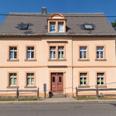
Schule Hauptstraße 30
Germany

Schule Hauptstraße 30

1.7 mi
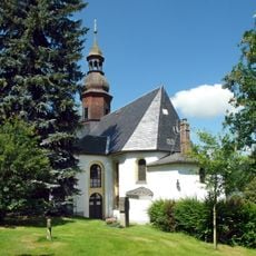
Dorfkirche Mulda/Sa.
Germany

Dorfkirche Mulda/Sa.

1.8 mi
Post-Brücke Mulda/Sa.
Germany

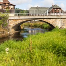
Post-Brücke Mulda/Sa.

2 mi
Ehemalige Schule Hauptstraße 35
Germany

Ehemalige Schule Hauptstraße 35

1.8 mi
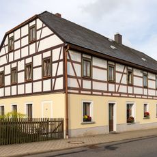
Wohnhaus Hauptstraße 41
Germany

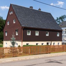
Wohnhaus Hauptstraße 41

1.9 mi
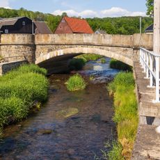
Brücke über die Freiberger Mulde Oststraße 3 (bei)
Germany

Brücke über die Freiberger Mulde Oststraße 3 (bei)

1.7 mi
Sachgesamtheit Kirche und Kirchhof Mulda mit folgenden Einzeldenkmalen: Kirche, Einfriedungsmauer, sechs Grabmale, zwei Grabanlagen und Nebengebäude (siehe Einzeldenkmalliste - Obj. 09209152, gleiche Anschrift) sowie der Kirchhof als Sachgesamtheits
Germany

Sachgesamtheit Kirche und Kirchhof Mulda mit folgenden Einzeldenkmalen: Kirche, Einfriedungsmauer, sechs Grabmale, zwei Grabanlagen und Nebengebäude (siehe Einzeldenkmalliste - Obj. 09209152, gleiche Anschrift) sowie der Kirchhof als Sachgesamtheits

1.8 mi
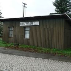
Haltestelle Burkersdorf
Germany

Haltestelle Burkersdorf

1.6 mi
Bauernhaus Hauptstraße 1
Germany

Bauernhaus Hauptstraße 1

1.7 mi
Wohnhaus Hauptstraße 2; 3
Germany

Wohnhaus Hauptstraße 2; 3

1.7 mi
Wohnstallhaus Hauptstraße 37
Germany

Wohnstallhaus Hauptstraße 37

1.8 mi
Häuslerhaus Hauptstraße 74
Germany

Häuslerhaus Hauptstraße 74

2.2 mi
Bauernhaus Hauptstraße 95
Germany

Bauernhaus Hauptstraße 95

2.4 mi
Pfarrhaus Mittelstraße 1
Germany

Pfarrhaus Mittelstraße 1

1.8 mi
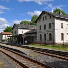
Bahnhof Mulda; Eisenbahnstrecke Mulda-Sayda (Schmalspur); Berthelsdorf-Bienenmühle (ehemals Nossen-Moldau) Mulda/Sa.
Germany

Bahnhof Mulda; Eisenbahnstrecke Mulda-Sayda (Schmalspur); Berthelsdorf-Bienenmühle (ehemals Nossen-Moldau) Mulda/Sa.

2.1 mi
Randecker Mühle Mulda/Sa.
Germany

Randecker Mühle Mulda/Sa.

2.6 mi
Böhms-Mühle Mulda/Sa.
Germany

Böhms-Mühle Mulda/Sa.

2.7 mi
Wohnstallhaus Alte Poststraße 1
Germany

Wohnstallhaus Alte Poststraße 1

2.5 mi
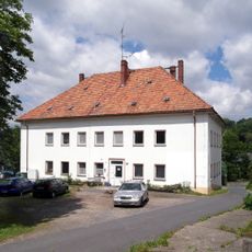
Herrenhaus des ehemaligen Rittergutes Am Rittergut 1
Germany

Herrenhaus des ehemaligen Rittergutes Am Rittergut 1

1.7 mi
Fischerwassergrenzstein Anton-Günther-Steig
Germany

Fischerwassergrenzstein Anton-Günther-Steig

2 mi
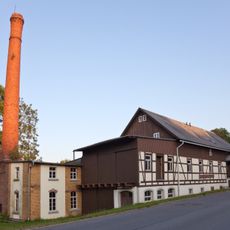
Brettund Lohmühle Schönlebe; Sägewerk Drechsel ehem. Schönlebe Mulda/Sa.
Germany

Brettund Lohmühle Schönlebe; Sägewerk Drechsel ehem. Schönlebe Mulda/Sa.

2.3 mi
Seitengebäude eines ehemaligen Erbgerichts Erbgerichtsweg 3
Germany

Seitengebäude eines ehemaligen Erbgerichts Erbgerichtsweg 3

1.9 mi
Kriegerdenkmal für die Gefallenen des Ersten Weltkrieges Anton-Günther-Steig -
Germany

Kriegerdenkmal für die Gefallenen des Ersten Weltkrieges Anton-Günther-Steig -

2 mi
Weißer Stein
Germany

Weißer Stein

2.6 mi
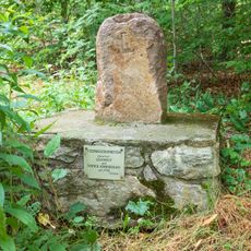
Anton-Günther-Gedenkstein Anton-Günther-Steig -
Germany

Anton-Günther-Gedenkstein Anton-Günther-Steig -

2.1 mi
Show the full map
Reviews
Share your experience

No review yet

Discussions
Start a discussion...

No discussion yet

« Burg Lichtenberg - Castle ruin in Lichtenberg, Saxony, Germany » is provided by Around Us (aroundus.com). Images and texts are derived from Wikimedia project under a Creative Commons license. You are allowed to copy, distribute, and modify copies of this page, under the conditions set by the license, as long as this note is clearly visible.

Discover hidden gems everywhere you go!

From secret cafés to breathtaking viewpoints, skip the crowded tourist spots and find places that match your style. Our app makes it easy with voice search, smart filtering, route optimization, and insider tips from travelers worldwide. Download now for the complete mobile experience.

Around Us App Screenshot
❝

A unique approach to discovering new places❞

— Le Figaro

❝

All the places worth exploring❞

— France Info

❝

A tailor-made excursion in just a few clicks❞

— 20 Minutes

Around Us
Travel Guide & Maps
Download

Send to your phone

QR Code
1

Open the camera app on your mobile.

2

Point at the QR code with your camera. A notification will appear.

3

Tap the notification to open the link.