
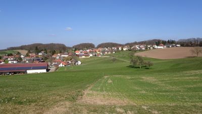
Böllstein, municipal district of Beerfelden in Odenwaldkreis, Germany
Location: Brombachtal
Elevation above the sea: 382 m
GPS coordinates: 49.74020,8.91707
Latest update: March 9, 2025 10:07
Dornmühle
4.1 km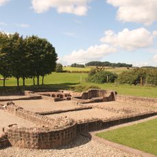
Haselburg Roman villa
4.2 km
Burg Schnellerts
1.6 km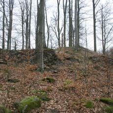
Beerfurther Schloesschen
3.6 km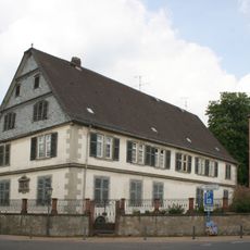
Herrenhaus
4.3 km
Pfaffen-Beerfurth
4.3 km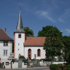
Evangelische Kirche Fränkisch-Crumbach
4.3 km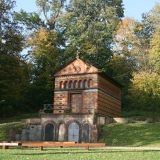
Sarolta-Kapelle
4.1 km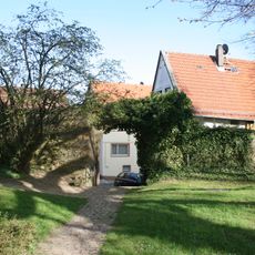
Burg Kirchbrombach
2.6 km
Morsberg
3.9 km
Rathaus
4.4 km
Rohrsee von Rehbach
4.4 km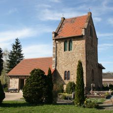
Friedhofskapelle
4.3 km
Bruch von Brensbach
4 km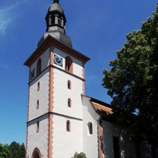
Evangelische Kirche Kirchbrombach
2.6 km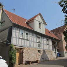
Wohnhaus (ehem. Schmiede)
4.4 km
Ehemalige Schule von Kirch-Beerfurth
4.3 km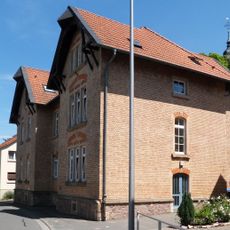
Ehemalige Schule
2.5 km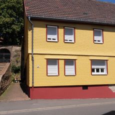
Hauptstraße 30
2.6 km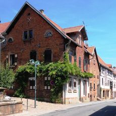
Hauptstraße 20
2.5 km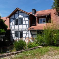
Kirch-Brombacher Straße 19
96 m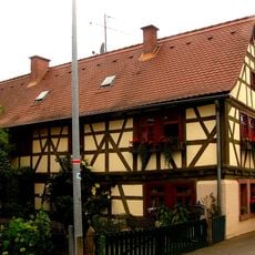
Wohnhaus
2.8 km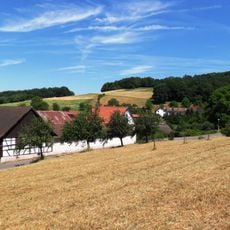
Gesamtanlage Weiler Kilsbach
2.2 km
Wohnhaus
4.5 km
Haus Am Morsberg 27
3.3 km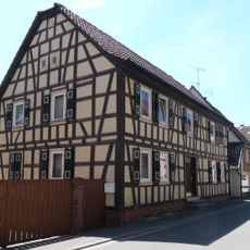
Hauptstraße 9
2.5 km
Pretlack´sche Gruftkapelle
4.4 km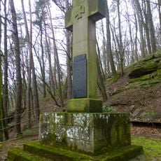
Kriegerdenkmal
1.8 kmVisited this place? Tap the stars to rate it and share your experience / photos with the community! Try now! You can cancel it anytime.
Discover hidden gems everywhere you go!
From secret cafés to breathtaking viewpoints, skip the crowded tourist spots and find places that match your style. Our app makes it easy with voice search, smart filtering, route optimization, and insider tips from travelers worldwide. Download now for the complete mobile experience.

A unique approach to discovering new places❞
— Le Figaro
All the places worth exploring❞
— France Info
A tailor-made excursion in just a few clicks❞
— 20 Minutes