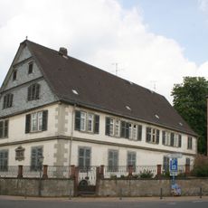
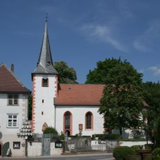
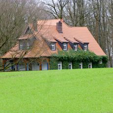
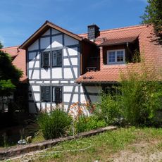
Pfaffen-Beerfurth, Rural district in Reichelsheim, Germany
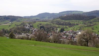
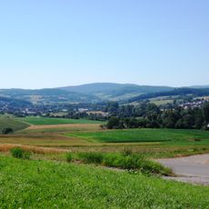
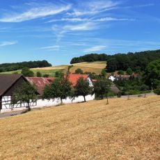
Pfaffen-Beerfurth is a district situated on the western bank of the Gersprenz River in Hesse's Odenwald region, lying at roughly 195 meters above sea level. A single bridge road connects it to neighboring Kirch-Beerfurth and provides access to federal highways B47 and B38.
The settlement first appeared in written records in 1324 as Berenforte, then became known by different names in the following centuries. It received its current name in 1650.
The settlement's name reflects its location between two other places, and this geography remains central to how people experience it today. The coat of arms from 1928, featuring a silver dove and star on blue, still appears throughout the district.
Access comes through federal highways B47 or B38 via a bridge connection. The hilly terrain makes it easy to explore the area on foot, especially for those seeking a rural setting.
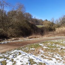
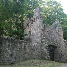
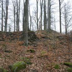
Between Hasenbuckel hill and Reichenberg Castle flows the Ratzenbrunnen spring, which feeds a stream entering the Gersprenz River. This natural water source remains a notable feature in the landscape today.
The community of curious travelers
AroundUs brings together thousands of curated places, local tips, and hidden gems, enriched daily by 60,000 contributors worldwide.