Ebschloh, Mountain summit in Rothaargebirge, North Rhine-Westphalia, Germany
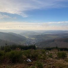
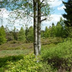
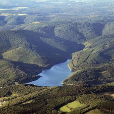
Ebschloh is a 686.5-metre-high mountain in the Lützlergebirge, the southeastern part of the Rothaargebirge, and the highest point in the municipality of Erndtebrück. Its summit lies 2.3 km south-southeast of Erndtebrück and 5 km northwest of Feudingen. The wooded mountain is crossed by the Rhine-Weser watershed, with the Oberndorfer Bach rising on its south flank and the Rammelsbach on its north flank.
The Ebschloh lies on the Rhine-Weser watershed: the Oberndorfer Bach rises on its southern flank and feeds the Rüppersbach, a tributary of the Lahn, while the Rammelsbach rises on its northern flank and feeds the Benfe, a tributary of the Eder. The wooded summit stands on the boundary between the Bad Laasphe landscape protection area, designated in 1987, and the Rothaargebirge (SI) area.
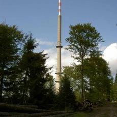
The summit lies in a military restricted zone of the Luftwaffe's Einsatzführungsbereich 2, whose radar dome is visible from afar; filming and photography are prohibited there. The wooded slopes fall within the Landschaftsschutzgebiete Bad Laasphe (designated 1987) and Rothaargebirge (SI), and the Sauerwiese und Oberndorfer Bruch nature reserve lies to the southeast.
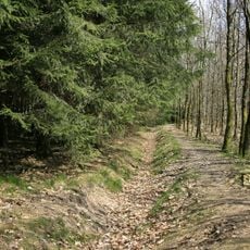
A hiking parking area at about 611 meters elevation provides access to forest paths leading toward the summit and surrounding region. The federal road B62 runs to the northwest and can serve as an orientation point.
The summit houses a military radar station for airspace monitoring that shapes the area. A shooting range lies about 400 meters to the northeast within a military restricted zone.
The community of curious travelers
AroundUs brings together thousands of curated places, local tips, and hidden gems, enriched daily by 94,115 contributors worldwide.