
Dünne, human settlement
Location: Bünde
Elevation above the sea: 115 m
GPS coordinates: 52.22972,8.58000
Latest update: April 14, 2025 19:37
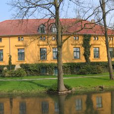
Gut Böckel
4.3 km
Babilonie
5 km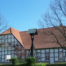
Deutsches Tabak- und Zigarrenmuseum
3.8 km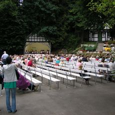
Kahle Wart
4.5 km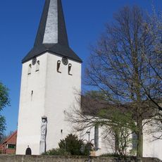
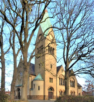
Laurentiuskirche
3.6 km
Dobergmuseum
3.8 km
Museum Bünde
3.8 km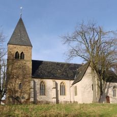
Stiftskirche
3.5 km
Burg Blankena
4.4 km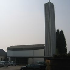
St. Michael (Holsen)
5.1 km
Donoer Berg
4 km
St. Josef
3.9 km
Ziegeleigrube Ennigloh
3.8 km
Auebachtal
5 km
Habighorster Wiesental
1.9 km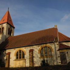
Kirche Bieren
3.7 km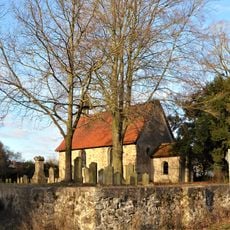
St.-Jürgen-Klus
646 m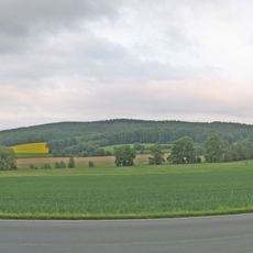
Glösinghauser Berg
4.2 km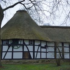
Horse mill Oberbauerschaft
3.8 km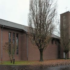
St. Canisius und St. Xaverius (Stift Quernheim)
3.5 km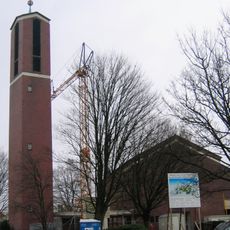
Kreuzkirche
3 km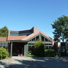
Kirche Arche Noah
5 km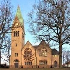
Evangelische Kirche Dünne
369 m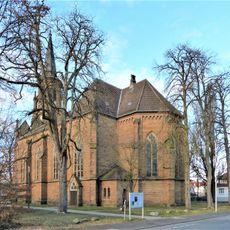
St. Paulus
3.7 km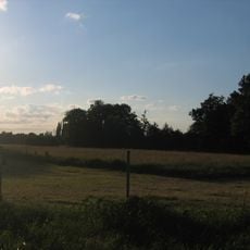
Elseaue
3.9 km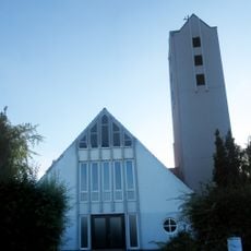
Lutherkirche
5.4 km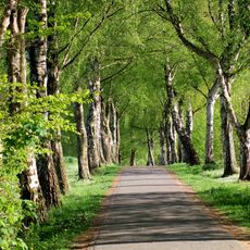
Ravensberger Hügelland
3.8 km
Alter jüdischer Friedhof (Bünde)
3.9 kmReviews
Visited this place? Tap the stars to rate it and share your experience / photos with the community! Try now! You can cancel it anytime.
Discover hidden gems everywhere you go!
From secret cafés to breathtaking viewpoints, skip the crowded tourist spots and find places that match your style. Our app makes it easy with voice search, smart filtering, route optimization, and insider tips from travelers worldwide. Download now for the complete mobile experience.

A unique approach to discovering new places❞
— Le Figaro
All the places worth exploring❞
— France Info
A tailor-made excursion in just a few clicks❞
— 20 Minutes