
Falka, human settlement in Germany
Location: Gera
Elevation above the sea: 336 m
GPS coordinates: 50.80360,12.12670
Latest update: March 3, 2025 17:28
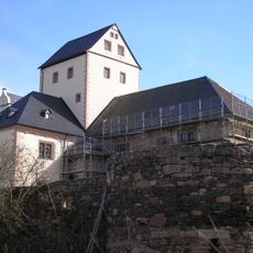
Kloster Mildenfurth
3.5 km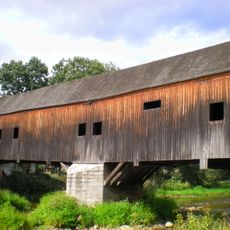
Historische Holzbrücke Wünschendorf
2.7 km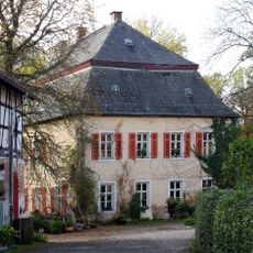
Rittergut Endschütz
2.2 km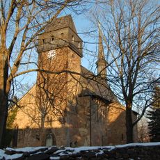
Veitskirche (Veitsberg)
2.8 km
Rittergut Kaimberg
4.9 km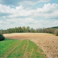
Dachshügel Großdraxdorf
3.1 km
Töpferberg
4.9 km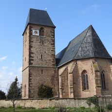
Protestant Church Niebra
2.1 km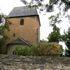
Protestant Church Taubenpreskeln
4.4 km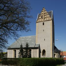
Protestant Church Wolfersdorf
4 km
Dorfkirche Untitz
2.8 km
Dorfkirche Großfalka
181 m
Kirche Kauern
4.7 km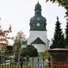
Protestant Church Linda
4.5 km
Dorfkirche Liebschwitz
3.5 km
St. Elisabeth (Letzendorf)
2.3 km
Church Kaimberg
4.9 km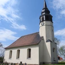
Protestant Church Hilbersdorf
2.4 km
Protestant Church (Endschütz)
2 km
Kirche Gauern
5 km
Märchenwald
2.4 km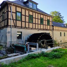
Clodramühle
4.9 km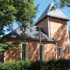
Protestant Church (Mosen)
1.6 km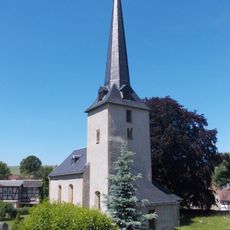
Protestant Church Wernsdorf
3.7 km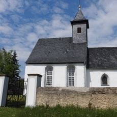
Protestant Church (Pohlen)
2.8 km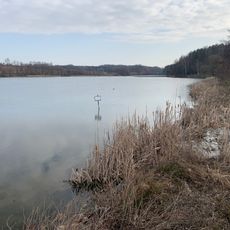
Talsperre Pohlen
2.9 km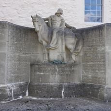
War memorial in Taubenpreskeln
4.4 km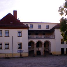
Schloss Kauern
4.8 kmReviews
Visited this place? Tap the stars to rate it and share your experience / photos with the community! Try now! You can cancel it anytime.
Discover hidden gems everywhere you go!
From secret cafés to breathtaking viewpoints, skip the crowded tourist spots and find places that match your style. Our app makes it easy with voice search, smart filtering, route optimization, and insider tips from travelers worldwide. Download now for the complete mobile experience.

A unique approach to discovering new places❞
— Le Figaro
All the places worth exploring❞
— France Info
A tailor-made excursion in just a few clicks❞
— 20 Minutes