Enable Location

We need your location to show you interesting places around you

Discover nearby places

Find interesting locations and hidden gems around you

Precise directions

Get accurate directions and distances to places

Your location is never shared with other users. It's only used when you tap the location button.

Gera

Log in to your account

Start exploring — it's free

Trusted by 63,529 travelers worldwide

Continue with Google
Continue with Apple
or

We will send you a code to connect

By continuing, you accept our Terms and Conditions and our Privacy Policy

Check your inbox

We've sent a pincode in your inbox. Please enter the code below.

Discussion Reviews 1 Photos
164k Popularity

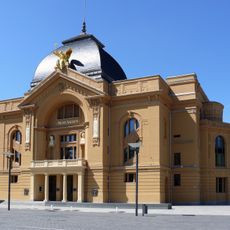
Gera, Regional center in Thuringia, Germany

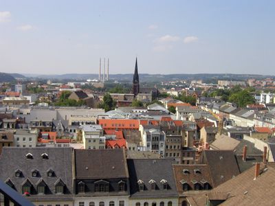
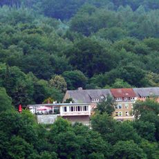
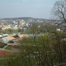
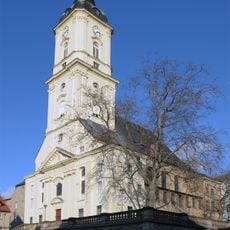
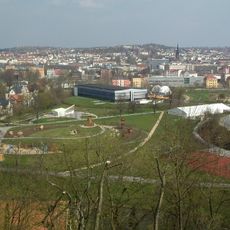
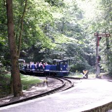
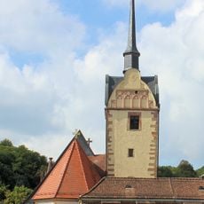
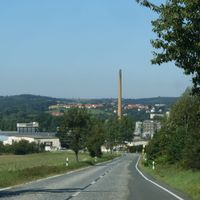
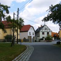
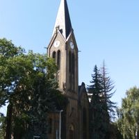
Gera is a regional center in Thuringia, Germany, located in the Weiße Elster valley at 205 meters elevation. Hills and forests of the East Thuringian landscape surround the town and shape its setting.

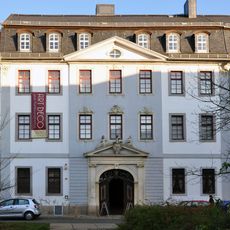
A document from 995 mentions the settlement for the first time and marks the beginning of its recorded history. The town later became the main residence of the House of Reuss and remained the capital of the Principality of Reuss-Gera until 1918.

The city museum preserves works by Otto Dix, who was born here and whose expressionist paintings capture scenes from the early 20th century. Visitors can also discover medieval altars and sculptures from the region in the art collection.

The main train station links the town to Leipzig, Berlin and Munich through regular trains, offering travelers several options for day trips. Pedestrians can reach the historic center easily, as most sights lie close together.

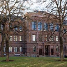
The Renaissance town hall ranks among the largest structures of its kind in the country and reflects the economic power the town gained through textile production. Its facade shows elaborate stonework that visitors can examine up close.

The community of curious travelers

AroundUs brings together thousands of curated places, local tips, and hidden gems, enriched daily by 60,000 contributors worldwide.

Start exploring
Location
Elevation above the sea
205 m
Part of
Central German Metropolitan Region
Shares border with
Greiz, Saale-Holzland-Kreis, Burgenlandkreis
Website
GPS coordinates
50.87655,12.08327
Latest update
December 14, 2025 21:39
Reviews
Share your experience

No review yet

Discussions
Start a discussion...

No discussion yet

« Gera - Regional center in Thuringia, Germany » is provided by Around Us (aroundus.com). Images and texts are derived from Wikimedia project under a Creative Commons license. You are allowed to copy, distribute, and modify copies of this page, under the conditions set by the license, as long as this note is clearly visible.

Discover hidden gems everywhere you go!

From secret cafés to breathtaking viewpoints, skip the crowded tourist spots and find places that match your style. Our app makes it easy with voice search, smart filtering, route optimization, and insider tips from travelers worldwide. Download now for the complete mobile experience.

Around Us App Screenshot

A unique approach to discovering new places

Le Figaro

All the places worth exploring

France Info

A tailor-made excursion in just a few clicks

20 Minutes

Around Us
Travel Guide & Maps
Download

Send to your phone

QR Code
1

Open the camera app on your mobile.

2

Point at the QR code with your camera. A notification will appear.

3

Tap the notification to open the link.