Eschenberg, Mountain summit in Bavaria, Germany.
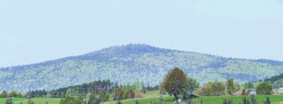
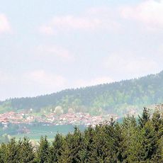
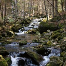
Eschenberg is a 1042 meter high peak in the Bavarian Forest with steep slopes and rock outcrops dotting its sides. The heavily wooded terrain creates natural pathways and creates varied terrain for those hiking the mountain.
The summit once held a Bundeswehr military observation post called Fox 2, equipped with a transmission mast for communications purposes. This military presence has since ended and the location has returned to natural use.
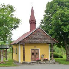
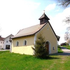
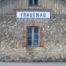
The area connects several traditional Bavarian villages including Kirchdorf im Wald, Rinchnach, and Frauenau through an extensive network of hiking paths.
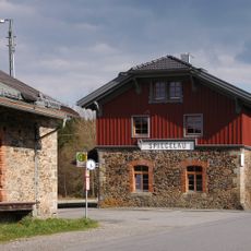
Visitors start from the Waldhaus parking area and follow marked trail signage throughout the hike. The paths are well maintained and offer different difficulty levels so that people of varying fitness can make the journey.
The southern flank features the prominent Habichtstein rock formation rising to 863 meters with outstanding views of the surrounding area. This distinctive rocky outcrop draws many hikers who specifically seek out this geologically interesting spot.
Location: Bavaria
Elevation above the sea: 1,042 m
GPS coordinates: 48.93424,13.27928
Latest update: December 14, 2025 20:32
Frauenau Glass Museum
6.2 km
Rinchnach Priory
6 km
Church of the Assumption of the Blessed Virgin Mary, Frauenau
6.3 km
Glashütte Gistl
6.1 km
Gsengetstein
1.6 km
Station building at Spiegelau station
6.1 km
Mariä Unbefleckte Empfängnis (Kirchdorf im Wald)
2.9 km
Mitternacher Ohe
7.5 km
Martin Luther Church
6.4 km
Maria, Hilfe der Christen
3.3 km
Katholische Pfarrkirche St. Johannes der Täufer
6.3 km
Katholische Pfarrkirche St. Maria Magdalena
6.4 km
St. Gotthard (Kirchberg im Wald)
8 km
Mariä Geburt, Frauenbrünnl
3.2 km
Ortskapelle
7.9 km
Kapelle
7.2 km
Mariä Heimsuchung
7.5 km
St. Katharina
5.2 km
Gutskapelle Oberfrauenau
7.7 km
Ehem. Schlosskapelle
7.2 km
Ortskapelle
7.6 km
Dorfkapelle
7.7 km
Kapelle
5.7 km
Schutz von Landschaftsteilen in den Gemeinden Oberkreuzberg, St. Oswald, Großarmschlag, Hartmannsreit und Schlag des Landkreises Grafenau (LSG Große Ohe von der Steinklamm bis zu Stadlmühle)
6.6 km
Brunnen
6.4 km
Bahnhof Frauenau
6.2 km
Ehemaliges Kloster und Mädchenschule der Englischen Fräulein
6.6 km
Hakenhof
7 kmVisited this place? Tap the stars to rate it and share your experience / photos with the community! Try now! You can cancel it anytime.
Discover hidden gems everywhere you go!
From secret cafés to breathtaking viewpoints, skip the crowded tourist spots and find places that match your style. Our app makes it easy with voice search, smart filtering, route optimization, and insider tips from travelers worldwide. Download now for the complete mobile experience.
A unique approach to discovering new places❞
— Le Figaro
All the places worth exploring❞
— France Info
A tailor-made excursion in just a few clicks❞
— 20 Minutes