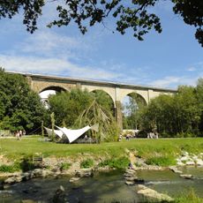
Schafberg, Mountain summit in Löbau, Germany
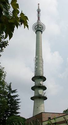
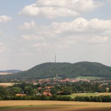
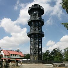
Schafberg is a mountain summit in Löbau reaching 449.5 meters in elevation and forms a prominent ridge across the Eastern Upper Lusatia region of Saxony. A 160-meter broadcast tower built in 1988 stands on its peak and transmits various radio and television programs.
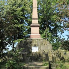
Archaeological digs revealed a ring wall dating back around 3000 years on Schafberg, indicating Bronze Age settlement on its slopes. This fortification shows the area was occupied and used by people in ancient times.
The name comes from its past use as pasture for sheep and cattle, with shepherds and their herds shaping the land for centuries. Visitors can still see the open spaces that reflect this traditional way of life.
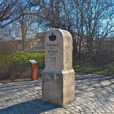
The mountain has several hiking trails of varying difficulty with marked routes to the summit. Proper footwear is important, as paths can become slippery in wet weather.
The Geldkeller rock formation on Schafberg may have once served as an observation point for astronomical events. These early observations suggest Bronze Age inhabitants already had interest in sky phenomena.
The community of curious travelers
AroundUs brings together thousands of curated places, local tips, and hidden gems, enriched daily by 60,000 contributors worldwide.