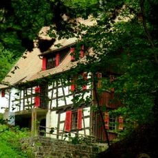
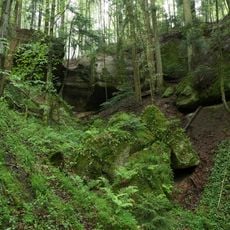
Hochwasserrückhaltebecken Aichstrut, reservoir
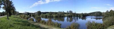
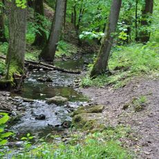
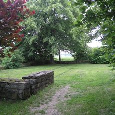
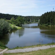
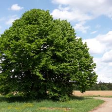
The Hochwasserrückhaltebecken Aichstrut is a reservoir near Welzheim covering about 4 hectares, held back by a dam approximately 11 meters high. A paved path circles the water and connects designated swimming areas, grassy picnic spaces, and a small refreshment stand, creating an accessible recreational site for visitors.
The reservoir was built in 1959 to prevent recurring floods from the river Lein during heavy rainfall. It forms part of a system of 11 similar structures along the same river that work together to reduce flood risk and protect surrounding communities.
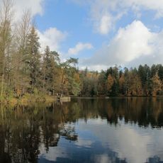
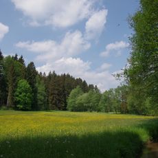
The reservoir is a gathering place for locals seeking outdoor leisure, where families and friends meet during warmer months to swim, picnic, and walk along the shoreline. Seasonal activities like ice skating in winter reflect how the community adapts its use of the water throughout the year.
The lake is easily reached by car via the B29, with ample parking nearby, most of which is paid. The flat paved path around the basin suits walking, cycling, and wheelchair users, while free admission makes the destination accessible to all.
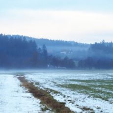
In winter the lake transforms into a smooth ice surface for skating, offering visitors a completely different experience from the summer swimming and picnicking atmosphere. This seasonal change makes the site a year-round destination that enables different recreational activities depending on the time of year.
The community of curious travelers
AroundUs brings together thousands of curated places, local tips, and hidden gems, enriched daily by 60,000 contributors worldwide.