Insel Koos, Kooser See und Wampener Riff, Nature reserve near Greifswald, Germany
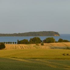
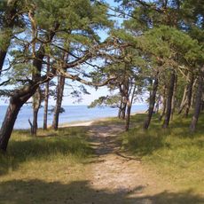
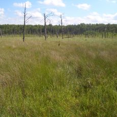
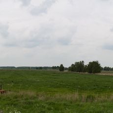
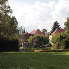
The nature reserve Insel Koos, Kooser See und Wampener Riff covers 1,560 hectares five kilometres north of Greifswald. It takes in the moraine island of Koos, the shallow Kooser See with its salt pans, and the submarine sand reefs of the Wampener Riff, which shield the lake from heavy swell. A one-kilometre sand spit separates the Kooser Bucht from the Greifswalder Bodden, and the narrow Beek channel links bay and lake.
Koos Island was used as a practice range for fighter-bombers during the 1930s, and scars from this period remain visible in the landscape. This chapter shaped the region before the terrain gradually became the ecosystem it is today.
Grazing shaped the vegetation here over centuries, producing salt grassland with distinct salt-marsh zones. The Swedish matriculation map of 1697 records surrounding Holländereien, Dutch-style farmsteads, and mowing pasture, herding and paddocks continued on Kooser Wiesen and Koos Island into the present. Cattle grazing is now the area's only use.
Wanderwege auf den Karrendorfer Wiesen führen in den westlichen Gebietsteil; die Insel Koos und die Karrendorfer/Kooser Wiesen dürfen nicht betreten werden. Die Zufahrt zur Insel per Kraftfahrzeug ist nur autorisierten Personen gestattet. Bei sommerlicher Trockenheit steigt der Salzgehalt des Kooser Sees und der Salzpfannen stellenweise auf 30 Promille, gegenüber 8 Promille im Boddenwasser.
A narrow water channel called Beek connects Kooser Bay to Kooser Lake, creating a biological corridor between two distinct water systems. This link allows fish and other organisms to move between the systems and plays a key role in the overall balance of the habitat.
The community of curious travelers
AroundUs brings together thousands of curated places, local tips, and hidden gems, enriched daily by 94,380 contributors worldwide.