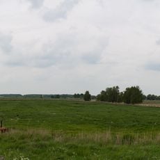
Southeast Rügen Biosphere Reserve, Biosphere reserve in Mecklenburg-Vorpommern, Germany.
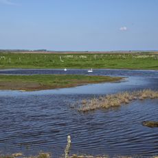
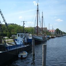
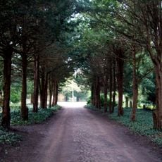
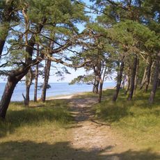
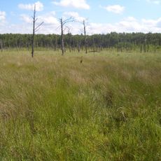
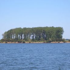
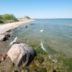
The Southeast Rügen Biosphere Reserve covers the southeastern part of Rügen, the Rügischer Bodden lagoon between Putbus and Thiessow, the outer coast from Thiessow to Binz, and the island of Vilm. Within 228 km² it holds fine-sand beaches, steep cliffs with block beaches at their feet, reed belts, beech woods on terminal moraines, and meadows in post-glacial depressions. The Bakenberg rises to 66 m, and the Nordperd and Zickersches Höft have the area's highest cliffs at 43–45 m.
The reserve was designated in 1990 as part of East Germany's national park program, making it one of the first protected areas of its kind in reunified Germany. The region also holds burial mounds and megalithic sites from the Stone and Bronze Ages, left by the earliest people who lived here.
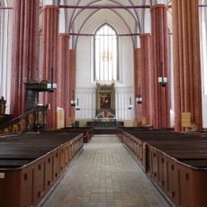
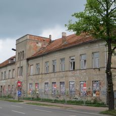
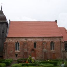
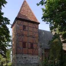
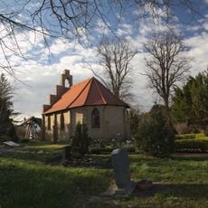
The name Mönchgut goes back to the monks of Eldena Abbey, who owned the peninsula in the Middle Ages. Visitors can still see Neolithic megalithic tombs, Bronze Age tumuli, medieval churches and village layouts, alongside the resort architecture of the modern era.
A network of walking and cycling paths runs through the area, connecting beaches, forests, and clifftop viewpoints so visitors can move between them easily. The small island of Vilm is only accessible on guided tours, so booking ahead is needed before planning a visit there.
The shallow coastal waters of the reserve contain seagrass meadows that serve as spawning grounds for Baltic herring, a role that is rarely visible to visitors but shapes the whole underwater food chain. The same waters also act as a key resting point for migratory birds passing through on their seasonal routes.
The community of curious travelers
AroundUs brings together thousands of curated places, local tips, and hidden gems, enriched daily by 94,028 contributors worldwide.