
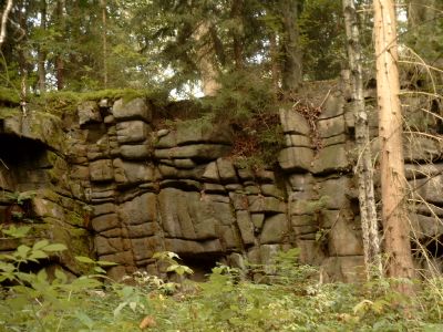
Gemauerter Stein, mountain
Location: Aue
Elevation above the sea: 601 m
GPS coordinates: 50.57390,12.68220
Latest update: April 22, 2025 12:30
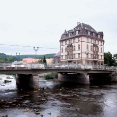
Schillerbrücke Aue
2.1 km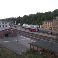
Bahnhof Aue
2.3 km
Zoo der Minis
2.3 km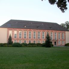
Kulturhaus Aue
1.8 km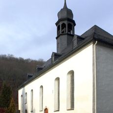
Zelle Abbey
2.8 km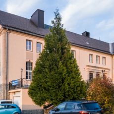
Museum Uranbergbau
3 km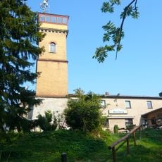
Gleesberg
2.4 km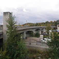
Bahnhofsbrücke Aue
2.2 km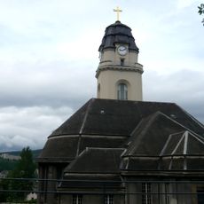
Friedenskirche
2.5 km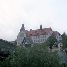
Clemens-Winkler-Gymnasium Aue
2.6 km
St. Nicholas' Church, Aue
2.1 km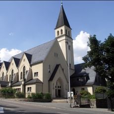
Mater Dolorosa
2.1 km
Category:Klösterlein Zelle (Rittergut)
2.8 km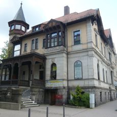
Bürgerhaus Aue
2 km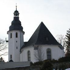
Dorfkirche Zschorlau
2.4 km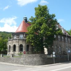
Gaedtvilla
2 km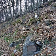
Hammerschmied
1.1 km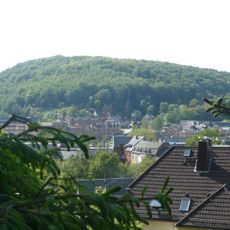
Brünlasberg
1.8 km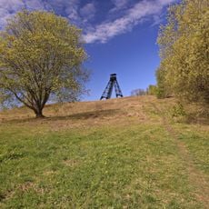
Türkschachthalde
2.4 km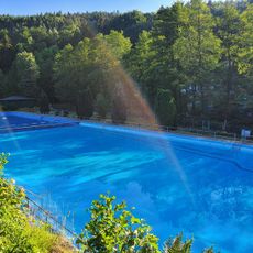
Freibad Auerhammer (Langbad)
1.1 km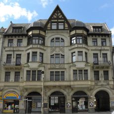
Wohn- und Geschäftshaus Bahnhofstraße 9
2 km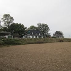
Fundgrube Jung Wildschwein
2.6 km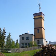
Köhlerturm
2.4 km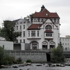
Gasthaus Muldenthal
2.2 km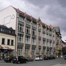
Wohn- und Geschäftshauses Bahnhofstraße 5-7
2 km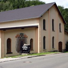
St. Anna
2.2 km
Westliches Wohnhaus, südliches Wohnhaus, nördliches ehemaliges Wirtschaftsgebäude und Keller einer ehemaligen Kurheimanlage Köhlerweg 1
3 km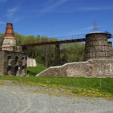
Sachgesamtheit Kalkwerk Hammerunterwiesenthal mit folgenden Einzeldenkmalen: Kalkwerk mit Brennöfen, Beamtenwohnhaus, vier kleine Halden als Bergbaurelikt (100-200 m westlich des Kalkwerkes) und Bruch inklusive Teich und Stolln (siehe Einzeldenkmall
2.8 kmReviews
Visited this place? Tap the stars to rate it and share your experience / photos with the community! Try now! You can cancel it anytime.
Discover hidden gems everywhere you go!
From secret cafés to breathtaking viewpoints, skip the crowded tourist spots and find places that match your style. Our app makes it easy with voice search, smart filtering, route optimization, and insider tips from travelers worldwide. Download now for the complete mobile experience.

A unique approach to discovering new places❞
— Le Figaro
All the places worth exploring❞
— France Info
A tailor-made excursion in just a few clicks❞
— 20 Minutes