
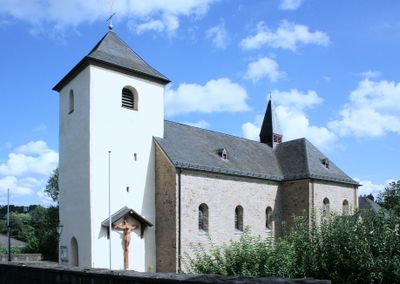
Kreuzkapelle, human settlement in Germany
Location: Much
Elevation above the sea: 215 m
GPS coordinates: 50.88140,7.38889
Latest update: March 4, 2025 20:10
Burg Herrnstein
5.7 km
Burg Overbach
3.2 km
Burgruine Herrenbröl
6.5 km
Heckberg
7.4 km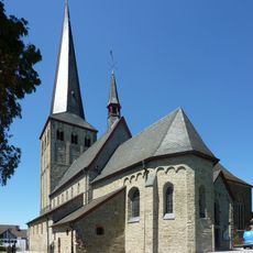
St. Margareta
5.9 km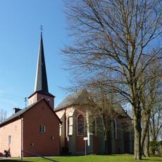
St. Martinus (Much)
3 km
Burg Hausdorp
8.6 km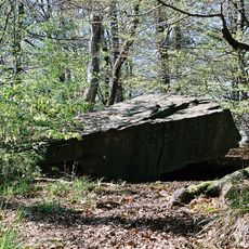
Teufelskiste
6.6 km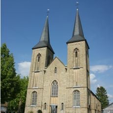
St. Mariä Heimsuchung
7.4 km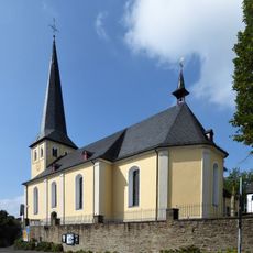
St. Servatius
7.4 km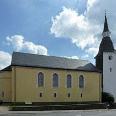
Protestant Church (Drabenderhöhe)
8.4 km
Gut Bettringen
6.9 km
Hauptstraße 65
2.8 km
Agger
8.8 km
Evangelische Kirche
5.2 km
St. Georg (Seelscheid)
4.9 km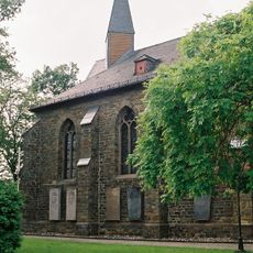
St. Maria Magdalena
5.8 km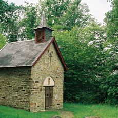
Wendelinuskapelle (Winterscheid)
7.2 km
Schlingenbachtal
8.1 km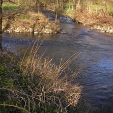
Brölbach
6 km
Lombachsmühle
8.2 km
Saint John the Baptist Church
235 m
Naafbachtal
6.3 km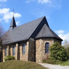
Church St. Michael
7 km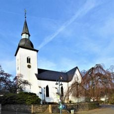
Evangelische Kirche Marienberghausen
8.6 km
St. Mariä Himmelfahrt (Neuhonrath)
8.2 km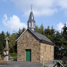
Friedhofskapelle Winterscheid (Ruppichteroth)
7.3 km
Agathakapelle (Winterscheid)
7.4 kmVisited this place? Tap the stars to rate it and share your experience / photos with the community! Try now! You can cancel it anytime.
Discover hidden gems everywhere you go!
From secret cafés to breathtaking viewpoints, skip the crowded tourist spots and find places that match your style. Our app makes it easy with voice search, smart filtering, route optimization, and insider tips from travelers worldwide. Download now for the complete mobile experience.

A unique approach to discovering new places❞
— Le Figaro
All the places worth exploring❞
— France Info
A tailor-made excursion in just a few clicks❞
— 20 Minutes