Enable Location

We need your location to show you interesting places around you

Discover nearby places

Find interesting locations and hidden gems around you

Precise directions

Get accurate directions and distances to places

Your location is never shared with other users. It's only used when you tap the location button.

Hasenbuck

Log in to your account

Start exploring — it's free

Trusted by 62,857 travelers worldwide

Continue with Google
Continue with Apple
or

We will send you a code to connect

By continuing, you accept our Terms and Conditions and our Privacy Policy

Check your inbox

We've sent a pincode in your inbox. Please enter the code below.

Hasenbuck

Hasenbuck, Residential district in southern Nuremberg, Germany.

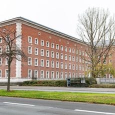
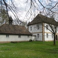
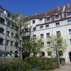
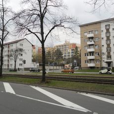
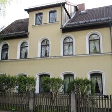
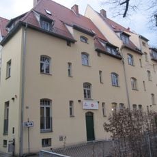
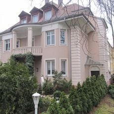
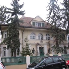
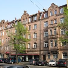
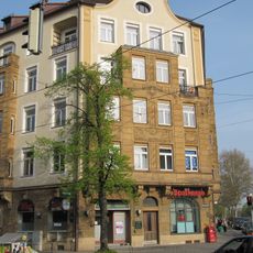
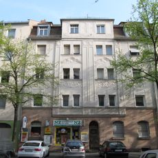
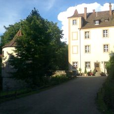
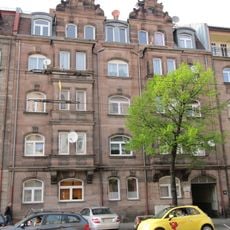
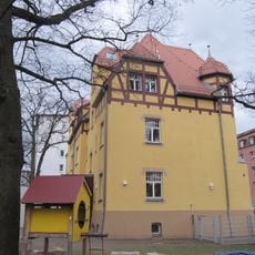
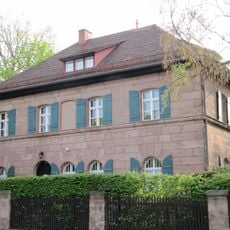
Hasenbuck is a residential district in southern Nuremberg situated on elevated terrain that rises above the surrounding landscape. The area contains a range of homes and buildings distributed across the hilly topography of this district.

The district first appeared in written records in the early 1700s when disputes over hunting rights in this elevated area emerged. These early mentions show the region held importance even before modern development took place.

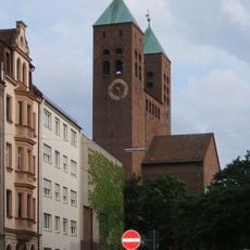
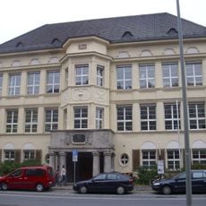
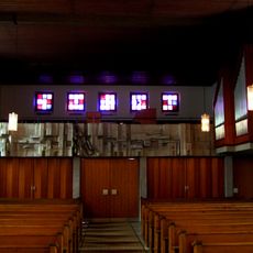
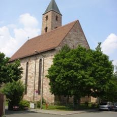
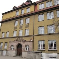
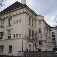
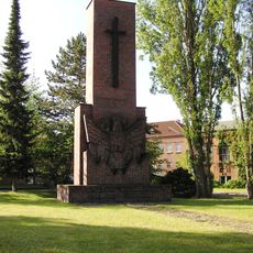
The Luther Church serves as the social center of this residential area and reflects how the neighborhood developed during the 1930s. Walking through the streets, you find a mix of homes and local shops that shape daily life here.

Public transportation including subway, tram, and bus lines connects this area to Nuremberg's city center. The hilly terrain means walking can involve gradual elevation changes, so comfortable footwear is helpful when exploring.

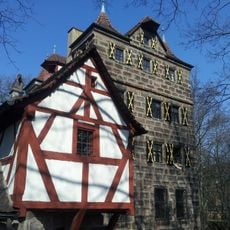
The site rests on a geological formation called an inselberg composed of castle sandstone that stands above the surrounding Keuper sandstone landscape. This distinctive rock composition creates the elevated terrain that defines the area's character.

The community of curious travelers

AroundUs brings together thousands of curated places, local tips, and hidden gems, enriched daily by 60,000 contributors worldwide.

Start exploring
Location
Shares border with
Katzwanger Straße
GPS coordinates
49.42600,11.08870
Latest update
December 14, 2025 11:01
« Hasenbuck - Residential district in southern Nuremberg, Germany » is provided by Around Us (aroundus.com). Images and texts are derived from Wikimedia project under a Creative Commons license. You are allowed to copy, distribute, and modify copies of this page, under the conditions set by the license, as long as this note is clearly visible.

Discover hidden gems everywhere you go!

From secret cafés to breathtaking viewpoints, skip the crowded tourist spots and find places that match your style. Our app makes it easy with voice search, smart filtering, route optimization, and insider tips from travelers worldwide. Download now for the complete mobile experience.

Around Us App Screenshot

A unique approach to discovering new places

Le Figaro

All the places worth exploring

France Info

A tailor-made excursion in just a few clicks

20 Minutes

Around Us
Travel Guide & Maps
Download

Send to your phone

QR Code
1

Open the camera app on your mobile.

2

Point at the QR code with your camera. A notification will appear.

3

Tap the notification to open the link.