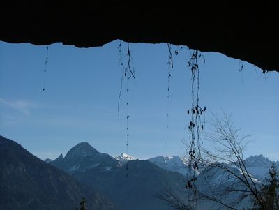
Judenkirche, Natural arch in Oberstdorf, Germany.
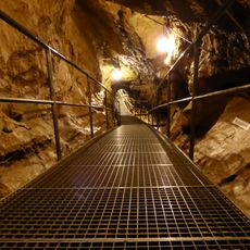
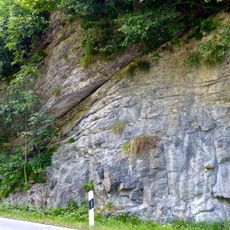
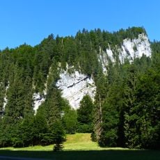
Judenkirche is a limestone arch formation located near Oberstdorf, measuring about 15 meters long and 2 meters wide at an elevation of around 1060 meters. The formation combines arch-like features with a substantial cavity extending behind it, creating a geological structure that functions as both arch and partial cave.
The name Judenkirche originated in the 17th century when local residents viewed this unusual stone formation as a religious landmark. The site later gained recognition for its geological importance and became protected as a natural monument.
The name Judenkirche reflects how local people over time have viewed this natural formation as a distinctive landmark in their landscape. Walkers and residents have treated this limestone arch as a place of its own significance within the wider region.
The site is reached by hiking from Fischen-Langenwang along a marked trail that climbs steadily uphill through the surrounding mountains. The terrain is moderately steep and hikers should be prepared for mountain conditions, especially in wet weather or winter.
This formation only received official protection as a natural monument in 2007, despite being known for centuries. This relatively recent recognition shows how geological features can remain overlooked for long periods before their scientific value is formally acknowledged.
The community of curious travelers
AroundUs brings together thousands of curated places, local tips, and hidden gems, enriched daily by 60,000 contributors worldwide.