
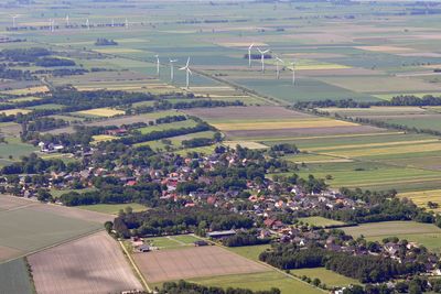
Holßel, human settlement
Location: Geestland
Elevation above the sea: 0 m
GPS coordinates: 53.68831,8.61673
Latest update: March 7, 2025 21:42

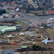
Aeronauticum
9.5 km
Leuchtturm Obereversand
9.1 km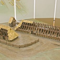
Feddersen Wierde
5.3 km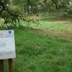
Pipinsburg (Sievern)
3.4 km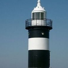
Kleiner Preuße
9.4 km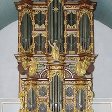
Organ of St. Peter and Paul in Cappel
5.4 km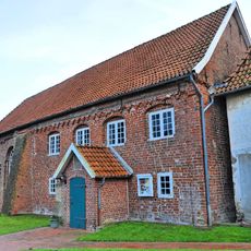
Holy Cross Church
5.1 km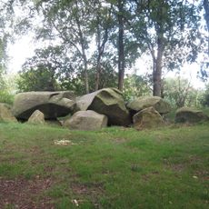
Großsteingrab Bülzenbett
3.2 km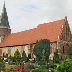
St. Urbanus
3.2 km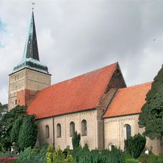
St. Willehadi-Kirche
8.3 km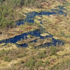
Dorumer Moor
3.4 km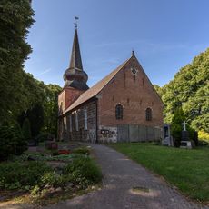
St.-Peter-und-Paul-Kirche
5.4 km
Dionysiuskirche Debstedt
7.7 km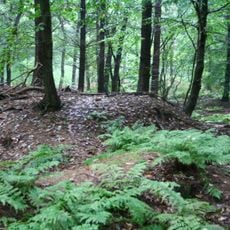
Hünenbetten von Drangstedt
9.7 km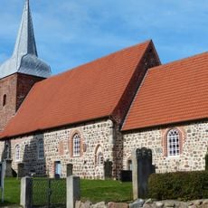
Pankratiuskirche Midlum
4.6 km
Rosenburg
8 km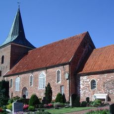
Katharinenkirche Misselwarden
6.8 km
Jüdischer Friedhof (Midlum)
5.5 km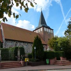
Marienkirche Mulsum
5.1 km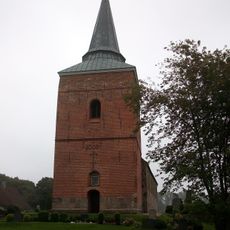
Saint Matthew Church
6 km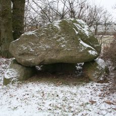
Großsteingrab Wanhöden
8.8 km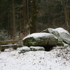
Hohensteine
5.3 km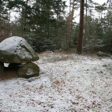
Großsteingrab Midlum 1
7 km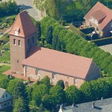
St. Georgkirche
7.4 km
Heimatmuseum Debstedt "De Lindenhoff"
7.7 km
Bülzenbett in Sievern
3.2 km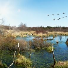
Dorumer Moor
3.5 kmReviews
Visited this place? Tap the stars to rate it and share your experience / photos with the community! Try now! You can cancel it anytime.
Discover hidden gems everywhere you go!
From secret cafés to breathtaking viewpoints, skip the crowded tourist spots and find places that match your style. Our app makes it easy with voice search, smart filtering, route optimization, and insider tips from travelers worldwide. Download now for the complete mobile experience.

A unique approach to discovering new places❞
— Le Figaro
All the places worth exploring❞
— France Info
A tailor-made excursion in just a few clicks❞
— 20 Minutes