
Ratingen-Homberg, human settlement in Germany
Location: Ratingen
Elevation above the sea: 140 m
Shares border with: Heiligenhaus
GPS coordinates: 51.29340,6.92770
Latest update: April 9, 2025 14:07
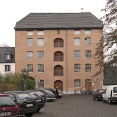
Textilfabrik Cromford
5.4 km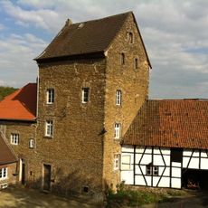
Gräfgenstein Castle
3 km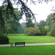
Poensgen Park
5.6 km
Upper Silesian Museum
5.1 km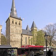
St. Peter und Paul, Ratingen
5.4 km
Haus Anger
2.4 km
Stinkesberg
5.8 km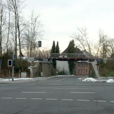
Waggonbrücke Heiligenhaus
5.1 km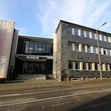
Museum Ratingen
5.6 km
St. Cecilia
4.2 km
Amtsgericht Mettmann
5.7 km
Haus Laubach
5.5 km
Minorite Monastery Ratingen
5.5 km
Manor Rommeljans
3 km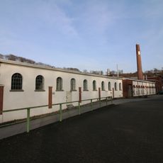
Papierfabrik Bagel
4 km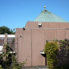
St. Victor
4.8 km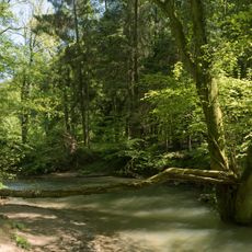
Angertal
2.5 km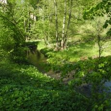
Vogelsangbachtal
5.5 km
Golf Club Hubbelrath
3.8 km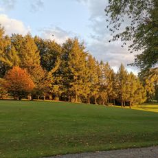
Düsseldorfer Golf Club
2.9 km
Der Rote Hahn
5.3 km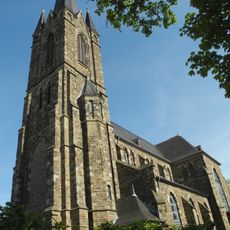
St. Suitbertus
4.9 km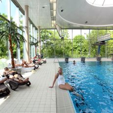
Angerbad
5.8 km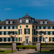
Herrenhaus Cromford
5.4 km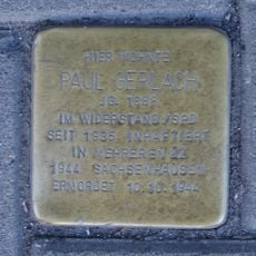
Stolperstein dedicated to Paul Gerlach
5.1 km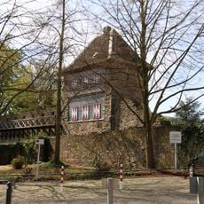
Trinsenturm
5.6 km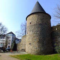
Kornsturm
5.3 km
Dicker Turm
5.4 kmReviews
Visited this place? Tap the stars to rate it and share your experience / photos with the community! Try now! You can cancel it anytime.
Discover hidden gems everywhere you go!
From secret cafés to breathtaking viewpoints, skip the crowded tourist spots and find places that match your style. Our app makes it easy with voice search, smart filtering, route optimization, and insider tips from travelers worldwide. Download now for the complete mobile experience.

A unique approach to discovering new places❞
— Le Figaro
All the places worth exploring❞
— France Info
A tailor-made excursion in just a few clicks❞
— 20 Minutes