Hochthürmerberg, Mountain summit in Rheinisches Schiefergebirge, Germany.
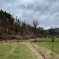
Hochthürmerberg is a mountain summit in the Rheinisches Schiefergebirge reaching approximately 500 meters in elevation. The slopes feature rocky outcrops and dense forest coverage throughout the surrounding terrain.
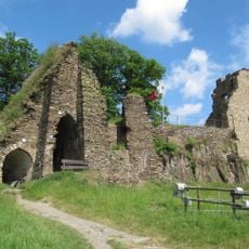
The summit plateau of the Hochthürmerberg carries the remains of a circular rampart (Ringwall), a defensive earthwork of the kind built in the Eifel in prehistory and the early Middle Ages; the sources give no date for it. The hill lies in the Ahr Hills, and the state border of North Rhine-Westphalia and Rhineland-Palatinate runs roughly along the 440-metre contour over its southern flank.
The hill's name appears in several variants: Hochthürmchen, Hochthürmen and Hochthürmer. The summit plateau holds the remains of a circular rampart (Ringwall), a visible trace of earlier use of the hilltop. The wooded dome itself gives no view; walkers instead look out from the Ahr-Venn-Weg between Kirchsahr and Krälingen.
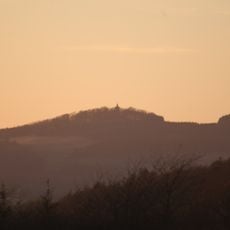
The wooded summit dome has no views, so the panorama is found instead on the stretch of the Ahr-Venn-Weg between Kirchsahr and Krälingen, where the Hohe Acht, Michelsberg, Nürburg, Scharteberg and Döhmberg come into sight. Near Krälingen the view opens over the Middle and Lower Ahr with the Krausberg, Neuenahrer Berg and neighbouring Hasenberg. The state border runs roughly along the 440-metre contour on the southern flank.
The wooded summit dome hides the remains of a circular rampart (Ringwall) on the plateau, a detail most walkers miss because the trees block any view. The state border of North Rhine-Westphalia and Rhineland-Palatinate runs roughly along the 440-metre contour line across the southern flank.
The community of curious travelers
AroundUs brings together thousands of curated places, local tips, and hidden gems, enriched daily by 94,360 contributors worldwide.