
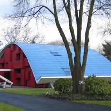
Hochwasserschutzbecken Langeler Bogen, architectural structure
Location: Niederkassel
Location: Cologne
GPS coordinates: 50.83970,6.99549
Latest update: June 15, 2025 02:13
Haus X1
4 km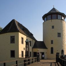
Burg Lülsdorf
2 km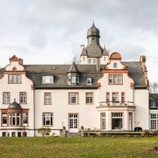
Schloss Eichholz
4.3 km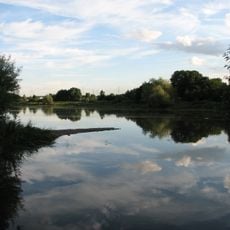
Entenfang Wesseling
3.3 km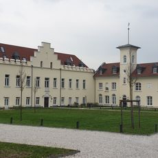
Godorfer Burg
4.1 km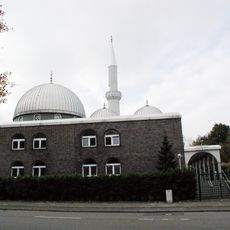
Mosque of Wesseling
2.4 km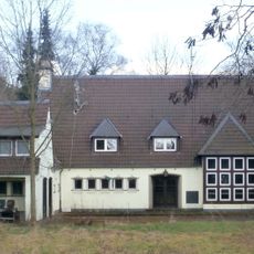
Haus Birkhof
3.4 km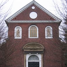
St. Remigiuskirche
3 km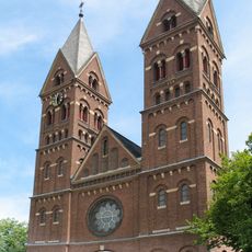
St. Germanus (Wesseling)
1.8 km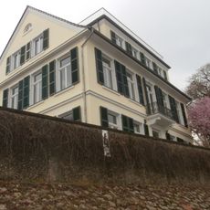
Dietkirchener Hof
4.1 km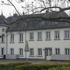
Jagdschloss Entenfang
3 km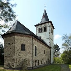
St. Martinus
3.9 km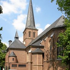
St. Jakobus
1.7 km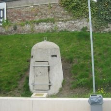
Einmannbunker Wesseling
1.7 km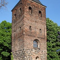
Alter Turm
1.7 km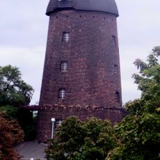
Godorfer Mühle
1.4 km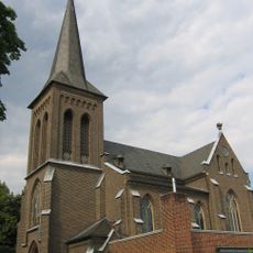
St. Clemens
922 m
Jewish Cemetery in Wesseling
1.9 km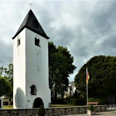
Alter Turm
2.6 km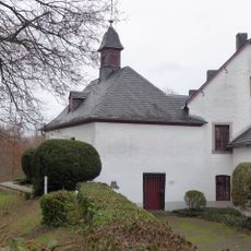
Luziakapelle
1.9 km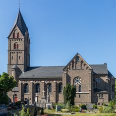
St. Servatius
3.6 km
Am Godorfer Hafen
1.4 km
Am Vogelacker
3.1 km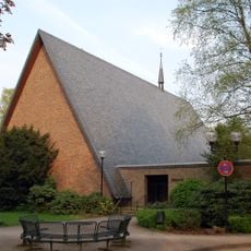
Erzengel-Michael-Kirche
4.2 km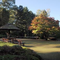
LSG-Friedenswald, Forstbotanischer Garten und Gruenverbindungen um Hahnwald
4.3 km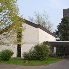
Auferstehungskirche
2.8 km
Holy Cross Church
2.9 km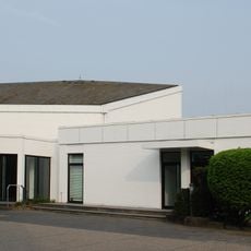
Emmanuelkirche
4.3 kmReviews
Visited this place? Tap the stars to rate it and share your experience / photos with the community! Try now! You can cancel it anytime.
Discover hidden gems everywhere you go!
From secret cafés to breathtaking viewpoints, skip the crowded tourist spots and find places that match your style. Our app makes it easy with voice search, smart filtering, route optimization, and insider tips from travelers worldwide. Download now for the complete mobile experience.

A unique approach to discovering new places❞
— Le Figaro
All the places worth exploring❞
— France Info
A tailor-made excursion in just a few clicks❞
— 20 Minutes