
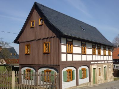
Ottendorf, district of Sebnitz, Germany
Location: Sebnitz
Elevation above the sea: 320 m
GPS coordinates: 50.94440,14.28330
Latest update: March 7, 2025 01:32
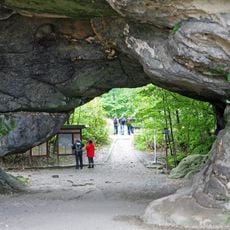
Kuhstall
2.8 km
Burg Arnstein
1.8 km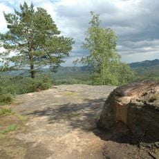
Neuer Wildenstein
2.8 km
Buschmühle
2.2 km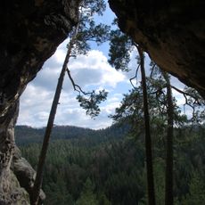
Kleinsteinhöhle
2.5 km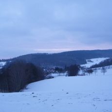
Buchberg
2.6 km
Kaiserberg
2.7 km
Hertigswalder Straße 38
2.6 km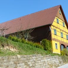
Talstraße 25
2.7 km
Sebnitzer Straße 11
130 m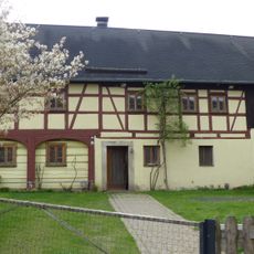
Hertigswalde 134
2 km
Hauptstraße 2
174 m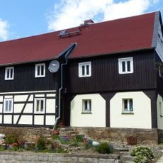
Hertigswalde 75
2 km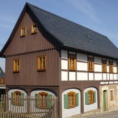
Endlerkuppe 7
143 m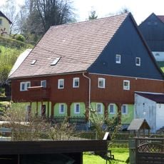
Parkweg 13
569 m
Sportplatzweg 2
110 m
Lochräumicht 8
1.2 km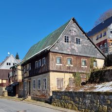
Hertigswalder Straße 33
2.7 km
Hauptstraße 5
222 m
Talstraße 20
2.8 km
Obergasse 18
2.8 km
Obergasse 23
2.7 km
Obergasse 25
2.7 km
Hertigswalder Straße 28
2.8 km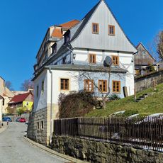
Wohnhaus mit Blockstube, Freitreppe und Anbau Hertigswalder Straße 29
2.8 km
Hertigswalder Straße 31 Sebnitz
2.7 km
Hauptstraße 23
546 m
Hertigswalde 97
2 kmReviews
Visited this place? Tap the stars to rate it and share your experience / photos with the community! Try now! You can cancel it anytime.
Discover hidden gems everywhere you go!
From secret cafés to breathtaking viewpoints, skip the crowded tourist spots and find places that match your style. Our app makes it easy with voice search, smart filtering, route optimization, and insider tips from travelers worldwide. Download now for the complete mobile experience.

A unique approach to discovering new places❞
— Le Figaro
All the places worth exploring❞
— France Info
A tailor-made excursion in just a few clicks❞
— 20 Minutes