
Hohe Luft, human settlement in Germany
Location: Bad Hersfeld
Elevation above the sea: 192 m
GPS coordinates: 50.86030,9.72833
Latest update: May 17, 2025 11:28
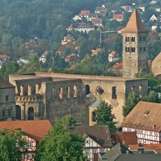
Stiftsruine Bad Hersfeld
1.9 km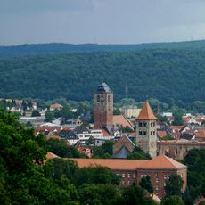
Hersfeld Abbey
2 km
Bad Hersfeld station
1.4 km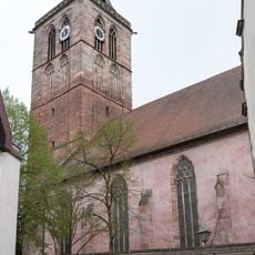
Stadtkirche, Bad Hersfeld
1.8 km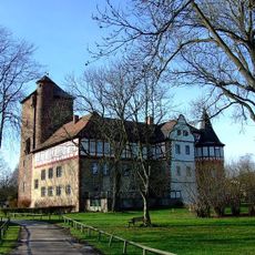
Schloss Eichhof
3.6 km
Wortreich
1.8 km
Town Hall of Bad Hersfeld
1.7 km
Burg Milnrode
7 km
Gißlingskirche
6.6 km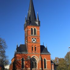
Lullus Church (Bad Hersfeld)
1.6 km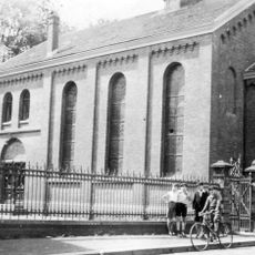
Synagoge (Bad Hersfeld)
1.4 km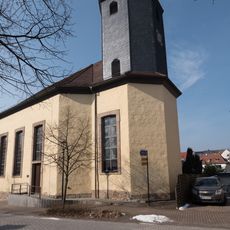
Evangelische Kirche am Dreienberg
9.2 km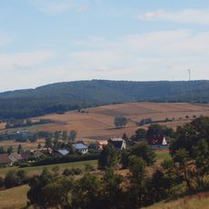
Toter Mann
9 km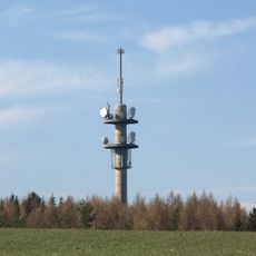
Sendeturm Wippershainer Höhe
3.2 km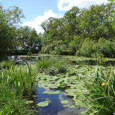
Alte Fulda bei Asbach
5.3 km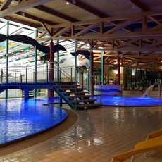
Hallenbad AquaFit
962 m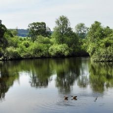
In den Weiden bei Blankenheim
8.6 km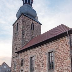
Evangelische Kirche
7.4 km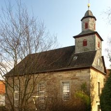
Evangelische Kirche
4.3 km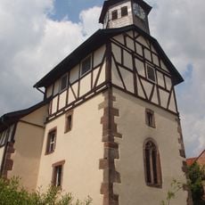
Evangelische Kirche Erdmannrode
6.8 km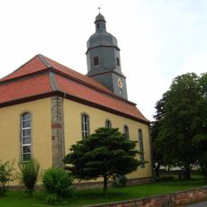
Evangelische Kirche
7 km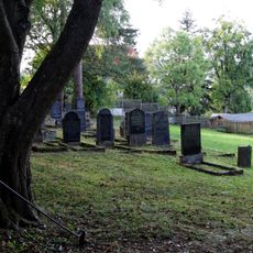
Jüdischer Friedhof Bad Hersfeld
2.6 km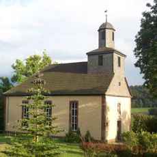
Evangelische Kirche
6.2 km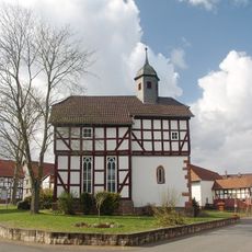
Evangelische Kirche
4 km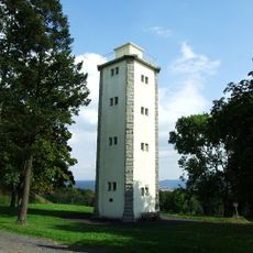
Robert-Heil-Tower
2.9 km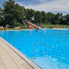
Freibad Schenklengsfeld
9.1 km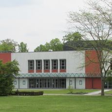
Stadthalle Bad Hersfeld
1.9 km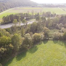
Alte Fulda bei Bad Hersfeld
2.8 kmVisited this place? Tap the stars to rate it and share your experience / photos with the community! Try now! You can cancel it anytime.
Discover hidden gems everywhere you go!
From secret cafés to breathtaking viewpoints, skip the crowded tourist spots and find places that match your style. Our app makes it easy with voice search, smart filtering, route optimization, and insider tips from travelers worldwide. Download now for the complete mobile experience.

A unique approach to discovering new places❞
— Le Figaro
All the places worth exploring❞
— France Info
A tailor-made excursion in just a few clicks❞
— 20 Minutes