
Unter-Abtsteinach, municipal district of Abtsteinach in Kreis Bergstraße, Germany
Location: Abtsteinach
Elevation above the sea: 402 m
GPS coordinates: 49.52722,8.78667
Latest update: March 2, 2025 22:16

Hardberg
1.8 km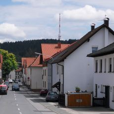
Ober-Abtsteinach
1.9 km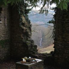
St. Maria in Lichtenklingen
1.6 km
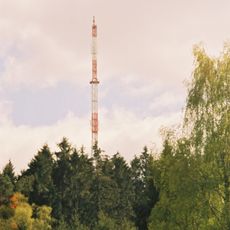
Hardberg transmitter
1.9 km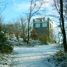
Eichelberg
4.4 km
Burg Waldeck
4.3 km
Harfenburg
5 km
Hammerschlösschen
6 km
Naturschutzgebiet Eiterbachtal von Wald-Michelbach
2.2 km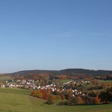
Stiefelhöhe
1.4 km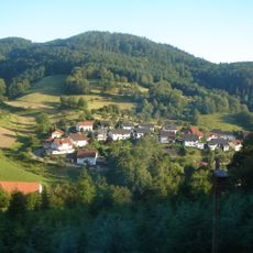
Daumberg
2 km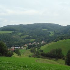
Waldskopf
1.9 km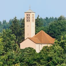
Herz-Jesu-Kirche (Weinheim-Oberflockenbach)
4 km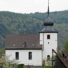
Peterskirche
6 km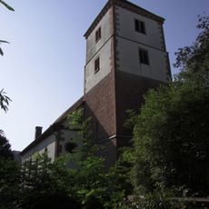
Protestant Church
5.7 km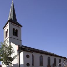
St. Laurentius
5.8 km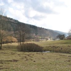
Odenwald
6.2 km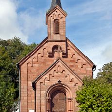
Marienkapelle
221 m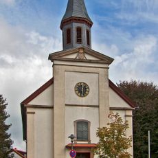
St. Bonifatius
1.9 km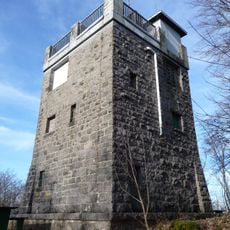
Eichelberg-Tower
4.4 km
Naturschutzgebiet In der Striet bei Vöckelsbach
3.2 km
Unbeflecktes Herz Mariens
2.9 km
Kath. Kirche St. Michael
4.6 km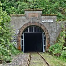
Wald-Michelbacher Tunnel
4.3 km
Waldecker Schloßwald
3.6 km
Oberes Ulfenbachtal bei Unter-Schönmattenwag
4.7 km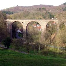
Vöckelsbacher Viadukt
5.9 km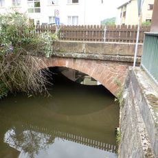
Brücke über den Grundelbach
6 kmReviews
Visited this place? Tap the stars to rate it and share your experience / photos with the community! Try now! You can cancel it anytime.
Discover hidden gems everywhere you go!
From secret cafés to breathtaking viewpoints, skip the crowded tourist spots and find places that match your style. Our app makes it easy with voice search, smart filtering, route optimization, and insider tips from travelers worldwide. Download now for the complete mobile experience.

A unique approach to discovering new places❞
— Le Figaro
All the places worth exploring❞
— France Info
A tailor-made excursion in just a few clicks❞
— 20 Minutes