Stiefelhöhe, Mountain summit in Odenwald, Germany
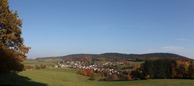
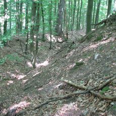
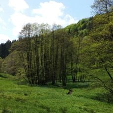
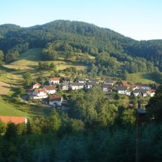
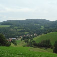
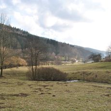
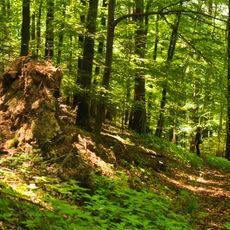
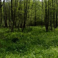
Stiefelhöhe is a mountain in the Odenwald that rises to about 587 meters and features densely wooded slopes. Various hiking paths run through deciduous forests and offer different views of the surrounding woodland landscape as you climb.
The mountain served as a well-known landmark in the Odenwald for travelers who crossed through the forested regions in earlier times. Its position in the landscape made it a natural reference point in a densely wooded area.
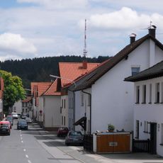
The name Stiefelhöhe refers to the shape of the peak, which resembles a boot, and hikers in the region know this mountain as a popular day trip destination. The trails pass through villages and forests where visitors can observe the rhythms of rural life and traditional forest uses in the area.
The summit is accessible from Unter-Abtsteinach via marked trails, with the main route covering about 9 kilometers and taking two to three hours. The paths are well signposted and visitors should wear sturdy shoes and bring water, as the walk goes through forest.
Along the hiking paths, there are several stone benches positioned at strategic spots that give walkers rest breaks with views. These benches are known locally and often offer surprising angles on the neighboring peaks in the area.
The community of curious travelers
AroundUs brings together thousands of curated places, local tips, and hidden gems, enriched daily by 60,000 contributors worldwide.