Jansburg, Medieval castle in Coesfeld, Germany.
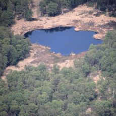
Jansburg is a 9th/10th-century hillfort earthwork in the Letter Bruch near Coesfeld. Its core was about 120 by 80 metres, enclosed by a rampart and ditch, with a 140-metre outer rampart and pointed ditch to the north. The southwest rampart survives 8 metres wide and 2 metres high; excavations found no stone walls or timber reinforcements, only layers of heath sand and peaty soil.
No historical records survive for this earthwork; its form points to construction in the 9th or 10th century. A local sign claiming a 1st-century AD origin is incorrect. It may have served as a road barrier on the old route between Borken and Dülmen. The name Jansburg dates only from the 19th century, when the site belonged to St. John's Church in Coesfeld-Lette; the older name Hamsburg described a grassy spur between two streams. Excavations in 1919, 1924/25 and 1966 found no dating evidence.
The name Jansburg dates only from the 19th century and refers to the site's ownership by the Church of St. John in Coesfeld-Lette. The older name Hamsburg is Low German for a grassy spur by water, describing the wedge of land between two streams. The local information board's claim of a 1st-century AD fort is incorrect.
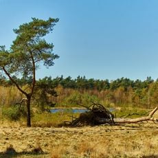
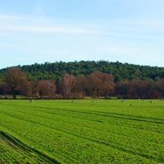
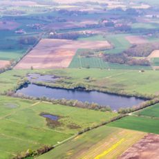
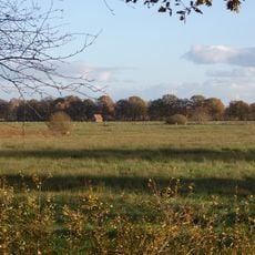
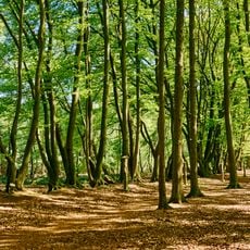
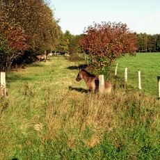
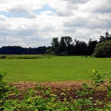
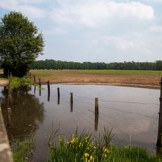
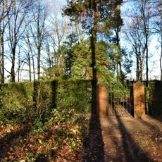
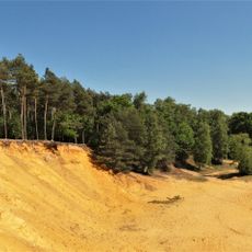
The Jansburg lies in the Letter Bruch near Coesfeld, in the fork between the Kettbach and Wienhorster Bach. The site is a Bodendenkmal covered by trees and shrubs, with collapsed earthen ramparts and ditches still visible; the southwest rampart is 8 m wide and 2 m high. There are no marked trails or signs, and the ground is uneven.
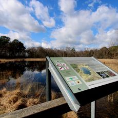
The information board on site dates the earthwork to the 1st century AD, but the form of the ramparts points to the 9th or 10th century. Excavations in 1919, 1924/25 and 1966, and a metal-detector survey in 2011/12, produced no dating finds.
The community of curious travelers
AroundUs brings together thousands of curated places, local tips, and hidden gems, enriched daily by 94,294 contributors worldwide.