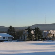
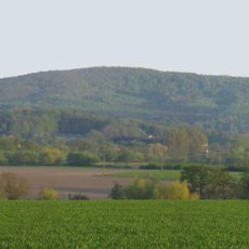
Kupferberg, Mountain summit in North Rhine-Westphalia, Germany.
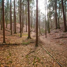
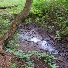
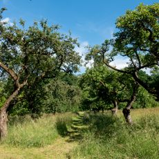
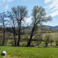
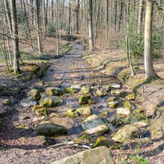
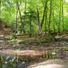
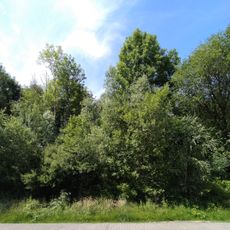
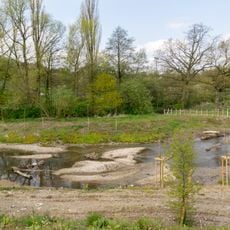
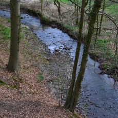
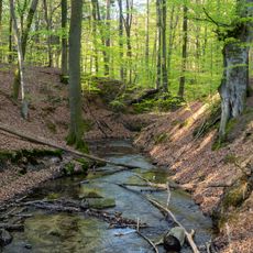
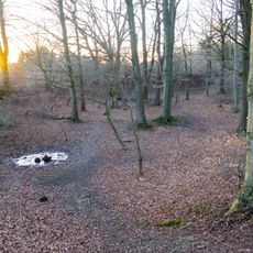
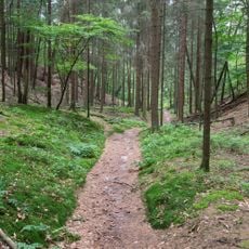
Kupferberg is a forested mountain summit in North Rhine-Westphalia rising to about 197 meters above sea level. The terrain features several marked hiking trails that make their way through the wooded slopes around the peak.
The name Kupferberg refers to Copper Mountain and reflects the region's past involvement in mining for mineral resources. This historical connection to resource extraction shaped how the area developed over generations.
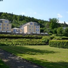
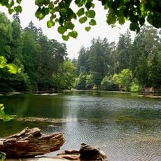
The local community uses this summit regularly for walking and hiking, making it a valued spot for outdoor time in the area. It serves as a natural gathering point where people from nearby neighborhoods escape into nature.
The summit is reachable via multiple marked trails, and parking areas are available at the base. The paths offer varying difficulty levels, so both beginning hikers and experienced walkers can find suitable routes to take.
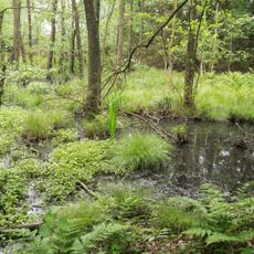
The elevation difference of the summit creates conditions that support different plant species, making the location botanically interesting to observe. These subtle variations in height allow for habitats that do not exist on completely flat terrain.
The community of curious travelers
AroundUs brings together thousands of curated places, local tips, and hidden gems, enriched daily by 60,000 contributors worldwide.