
Lauenstein, human settlement in Germany
Location: Salzhemmendorf
Elevation above the sea: 163 m
GPS coordinates: 52.07730,9.55427
Latest update: March 7, 2025 07:37

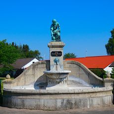
Ernst-Feuerhake-Brunnen
4.6 km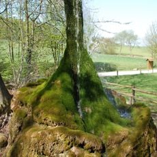
Wasserbaum Ockensen
6.6 km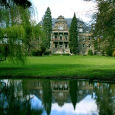
Rittergut Voldagsen
3.7 km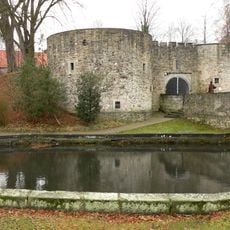
Burg Coppenbrügge
4.6 km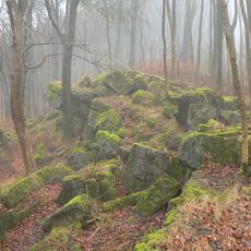
Ith
4.3 km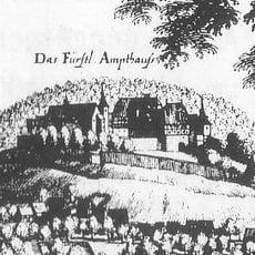
Lauenstein Castle
403 m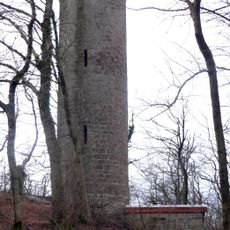
Ith-Tower
2.1 km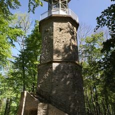
Lönsturm
5.1 km
Hüttenstollen Osterwald
6.4 km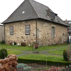
Karmelitenkloster Marienau
3.8 km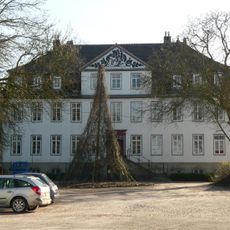
Herrenhaus Diedersen
6.7 km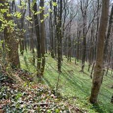
Naturwald Saubrink/Oberberg
3 km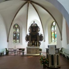
Saint Nicholas Church
4.8 km
Im Heidsieke
6.7 km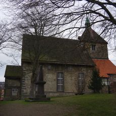
Churches in Salzhemmendorf
2.8 km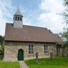
Jakobikirche
7.2 km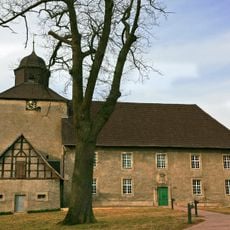
Church in Bisperode
3.8 km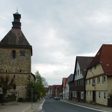
St. Nicolai
8 m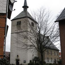
St. Vitus
3.3 km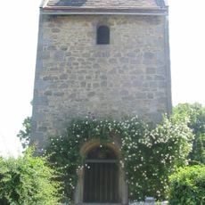
St.-Annen-Kapelle
1.4 km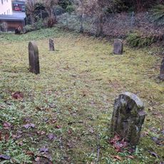
Jüdischer Friedhof Lauenstein
337 m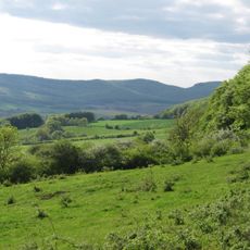
Südhang des Thüster Berges
6.7 km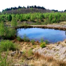
Osterwald - Saupark
6.4 km
Ith
1.8 km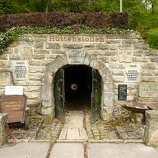
Der Hüttenstollen - Besucherbergwerk und Museum Osterwald
6.3 km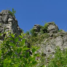
Kanstein - Thüster Berg
6 km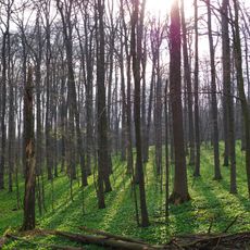
Saubrink/Oberberg
2.8 km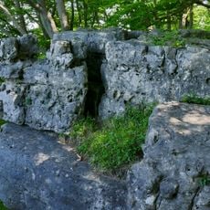
Kanstein im Thüster Berg
5.7 kmVisited this place? Tap the stars to rate it and share your experience / photos with the community! Try now! You can cancel it anytime.
Discover hidden gems everywhere you go!
From secret cafés to breathtaking viewpoints, skip the crowded tourist spots and find places that match your style. Our app makes it easy with voice search, smart filtering, route optimization, and insider tips from travelers worldwide. Download now for the complete mobile experience.

A unique approach to discovering new places❞
— Le Figaro
All the places worth exploring❞
— France Info
A tailor-made excursion in just a few clicks❞
— 20 Minutes