Säckingen, Administrative district in Baden-Württemberg, Germany
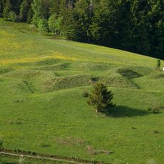
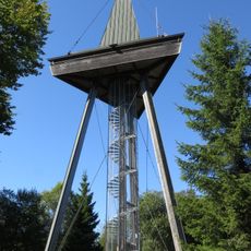
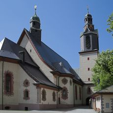
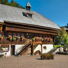
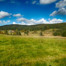
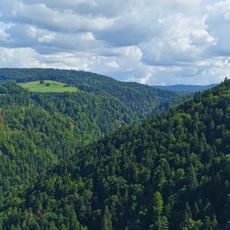
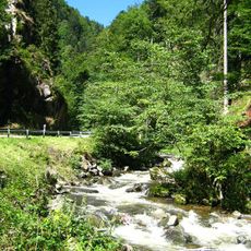
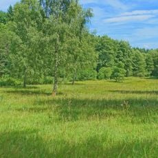
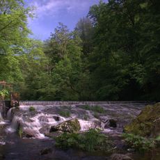
Säckingen was an administrative district in Baden-Württemberg that stretched along the southern edge of the Black Forest and encompassed several municipalities with varied landscapes. The territory bordered Switzerland directly and lay in the Rhine valley, containing diverse environments from forest to river plains.
The district formed in 1938 from the previous Bezirksamt Säckingen and served as an administrative unit until its dissolution in 1973. Its merger with the Waldshut district created a new administrative structure for the region.
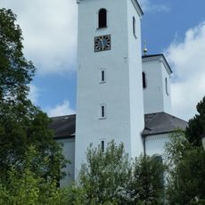
The district includes Bad Säckingen, which received its spa town designation in 1978 and maintains strong connections through its wooden bridge to Switzerland.
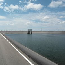
The area lay centrally for connections between Germany and Switzerland, offering access to major routes along the Rhine valley. Visitors today can use the cross-border infrastructure and explore the river landscape.
Bad Säckingen, the main town of the former district, is home to Europe's longest covered wooden bridge spanning the Rhine. This protected structure has connected German and Swiss shores for centuries.
The community of curious travelers
AroundUs brings together thousands of curated places, local tips, and hidden gems, enriched daily by 60,000 contributors worldwide.