Maiach, Statistical district in Nuremberg, Germany.
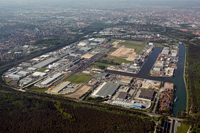
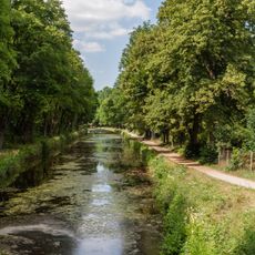
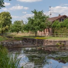
Maiach is a district of Nuremberg that stretches across the port area with the Main-Danube Canal forming its northeastern boundary. Residential streets and commercial spaces fill the interior, creating a mixed-use neighborhood with waterfronts on two sides.
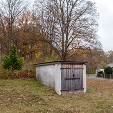
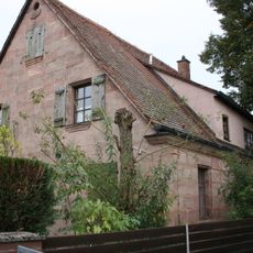
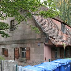
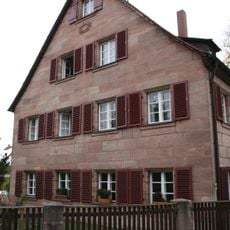
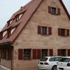
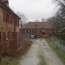
The area appears in records from the 12th century as a fortified residence of local nobility, later documented under a slightly different spelling in the 13th century. The Tucher family took control in the early 1500s and held the land for over 3 centuries before ownership changed in the 1800s.
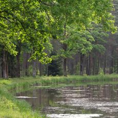
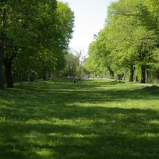
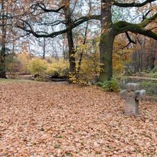
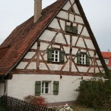
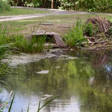
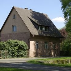
The name reflects early settlement patterns in the region with roots in older language traditions. Today the district mixes residential blocks with green spaces along the waterways where locals and visitors walk regularly.
The district is well served by public transportation with flat terrain that makes walking straightforward in any direction. The waterfront location means winds can be stronger here, so dress accordingly depending on the season and weather conditions.
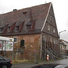
A major port facility built in the early 1970s occupies part of what was once residential land, dramatically reshaping the neighborhood's character. This shift from a rural family estate to an industrial shipping hub happened within just a few decades.
Location: Nuremberg
Elevation above the sea: 313 m
Shares border with: Eibach
GPS coordinates: 49.40450,11.05820
Latest update: December 14, 2025 17:03
Ludwig Canal
1.5 km
Eibach
1.5 km
Schleusenwärterhaus Schleuse 72
1.6 km
Pfarrkirche St. Walburga
1.6 km
Luftschutzanlage
1.3 km
St. Johannes Baptist
1.6 km
Erdbauten des Ludwig-Donau-Main-Kanals #22
1.6 km
Emmauskirche (Gartenstadt)
1.6 km
Abschnitt des Ludwig-Donau-Main-Kanals
1.5 km
Abschnitt des Ludwig-Donau-Main-Kanals
1.5 km
Bogenbrücke Kindermannstraße in Nürnberg
1.5 km
Steinkreuz am Forstweiher
1.2 km
Schleuse 72 des Ludwig-Donau-Main-Kanals
1.6 km
Schleuse 73 des Ludwig-Donau-Main-Kanals
1.5 km
Schleuse 74 des Ludwig-Donau-Main-Kanals
1.6 km
Forstweiherstraße 14
1.6 km
Eibacher Hauptstraße 55
1.6 km
Einlaufbauwerk am Unterhaupt der Schleuse 72
1.6 km
Heidestraße 27 (Nuremberg)
1.2 km
Motterstraße 39 (Nuremberg)
1.2 km
Kriegerdenkmal
1.2 km
Zeitenwendeplatz 13
1.6 km
Ausleitung in Nürnberg Gibitzenhof
1.4 km
Zeitenwendeplatz 17-17a
1.6 km
Schleuse 74
1.6 km
Sogenanntes Vorderes Schloss
551 m
Ehemaliges Tucherschloss, ehemaliges Weiherhaus
586 m
Schleusenwärterhaus Schleuse 73
1.5 kmVisited this place? Tap the stars to rate it and share your experience / photos with the community! Try now! You can cancel it anytime.
Discover hidden gems everywhere you go!
From secret cafés to breathtaking viewpoints, skip the crowded tourist spots and find places that match your style. Our app makes it easy with voice search, smart filtering, route optimization, and insider tips from travelers worldwide. Download now for the complete mobile experience.
A unique approach to discovering new places❞
— Le Figaro
All the places worth exploring❞
— France Info
A tailor-made excursion in just a few clicks❞
— 20 Minutes