
Nütterden, human settlement in Germany
Location: Kranenburg
Elevation above the sea: 19 m
GPS coordinates: 51.78944,6.06417
Latest update: March 3, 2025 03:06
Museum Kurhaus Kleve
4.3 km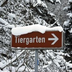
Zoo Cleves
4.2 km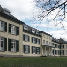
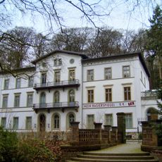
Schloss Gnadenthal
3.5 km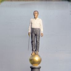
Neuer Eiserner Mann
4.2 km
Castle Zelem
4 km
Wasserburg Rindern
4.9 km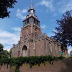
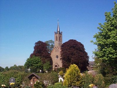
Sankt Peter und Paul
4 km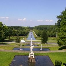
Neuer Tiergarten Kleve
4.2 km
Burg Kranenburg
4 km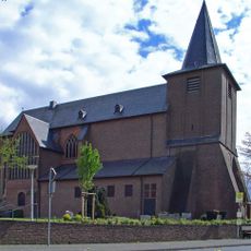
Kollegiatstift St. Martin, Zyfflich/Kranenburg
4 km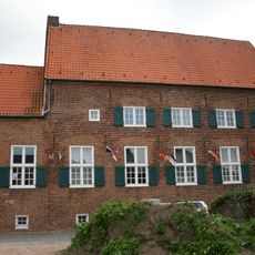
Katharinenhof Kranenburg
3.9 km
Kleine Kirche
4.8 km
Haus Germenseel
4.9 km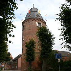
Mühlenturm
3.9 km
Forstgarten
4.4 km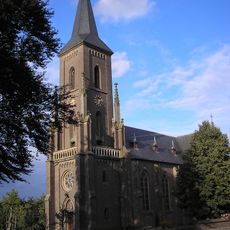
St. Lambertus (Donsbrüggen)
2.6 km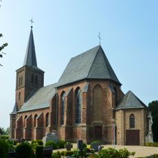
St. Martin
2.5 km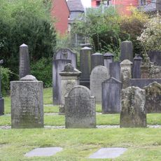
Jüdischer Friedhof (Kleve)
4.9 km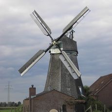
Mühle von Donsbrüggen
2.4 km
Hingstberg
735 m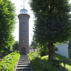
Aussichtsturm Klever Berg
3.5 km
Quellen am Stoppelberg
1.5 km
Geldenberg
4.8 km
Wolfsberg
1.3 km
Kranenburger Bruch
1.7 km
LSG-Waldgebiet des Tiergartenwaldes
2.8 km
NSG Kranenburger Bruch
1.9 km
Saint Anthony the Great Church
3.5 kmReviews
Visited this place? Tap the stars to rate it and share your experience / photos with the community! Try now! You can cancel it anytime.
Discover hidden gems everywhere you go!
From secret cafés to breathtaking viewpoints, skip the crowded tourist spots and find places that match your style. Our app makes it easy with voice search, smart filtering, route optimization, and insider tips from travelers worldwide. Download now for the complete mobile experience.

A unique approach to discovering new places❞
— Le Figaro
All the places worth exploring❞
— France Info
A tailor-made excursion in just a few clicks❞
— 20 Minutes