
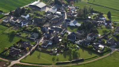
Rißdorf, human settlement in Germany
Location: Mechernich
Elevation above the sea: 290 m
GPS coordinates: 50.59361,6.71611
Latest update: April 22, 2025 05:05
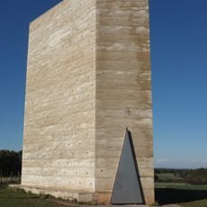
Feldkapelle
800 m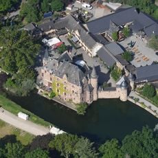
Burg Satzvey
3 km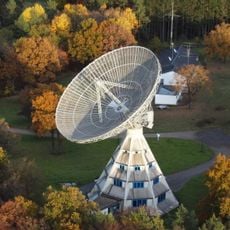
Stockert Radio Telescope
2.7 km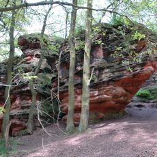
Katzensteine
2.3 km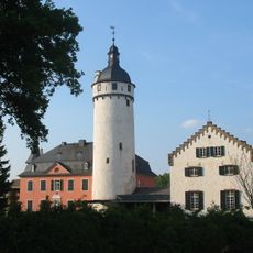
Burg Zievel
2.8 km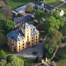
Schloss Wachendorf
2 km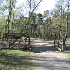
Hochwildpark Rheinland
3 km
Römische Kalkbrennerei Iversheim
4.1 km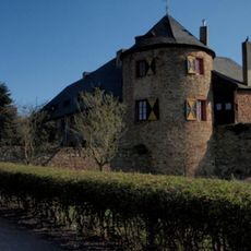
Untere Burg
2.5 km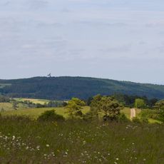
Stockert
2.7 km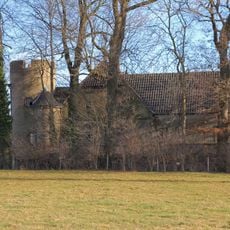
Heistard Castle
3.5 km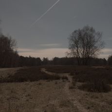
Schavener Heide
3.3 km
St. John Baptist (Mechernich)
4.3 km
Old Church
4.3 km
Saint Pantaleon Church (Satzvey)
3.1 km
Church of St Lambertus
3.3 km
St. Margaretha
4.4 km
St. Johann Baptist (Antweiler, Mechernich)
2.5 km
St Peter's Chapel
1.9 km
St. Margareta (Eschweiler)
2.9 km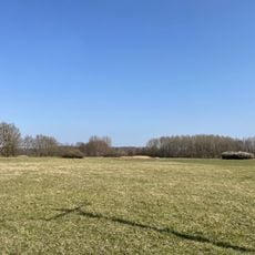
Kalkarer Moor / Tongrube Toni
4.2 km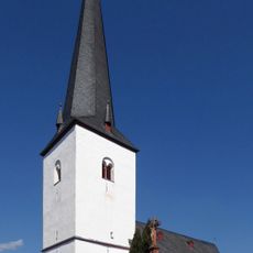
St. Stephanus (Lessenich)
1.7 km
Evangelisches Dietrich-Bonhoeffer-Haus (Mechernich)
4.3 km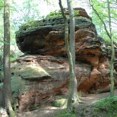
Katzensteine
2.2 km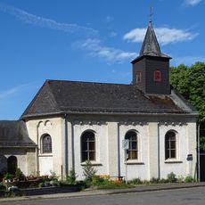
Kapelle St. Leonhard
3.3 km
St. Ludgerus
4 km
St. Laurentius
4.1 km
St. Barbara
4.5 kmReviews
Visited this place? Tap the stars to rate it and share your experience / photos with the community! Try now! You can cancel it anytime.
Discover hidden gems everywhere you go!
From secret cafés to breathtaking viewpoints, skip the crowded tourist spots and find places that match your style. Our app makes it easy with voice search, smart filtering, route optimization, and insider tips from travelers worldwide. Download now for the complete mobile experience.

A unique approach to discovering new places❞
— Le Figaro
All the places worth exploring❞
— France Info
A tailor-made excursion in just a few clicks❞
— 20 Minutes