
Rohrenkopf, mountain in Germany
Location: Baden-Württemberg
Elevation above the sea: 1,170 m
GPS coordinates: 47.71338,7.92749
Latest update: June 10, 2025 11:17
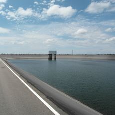
Hornberg Basin
6.6 km
Hohe Möhr
4.6 km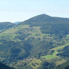
Zeller Blauen
6.1 km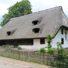
Freilichtmuseum Klausenhof
7 km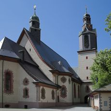
Wallfahrtskirche Todtmoos
6.2 km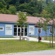
Wiesentäler Textilmuseum
5.4 km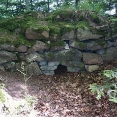
Ruine Burgholz
5.6 km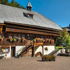
Heimethus
6.2 km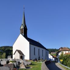
St. Michael
2.3 km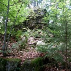
Ruine Turmhölzle
5.7 km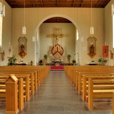
St. Fridolin
5.6 km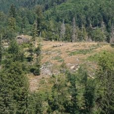
Burg Altenstein
2.4 km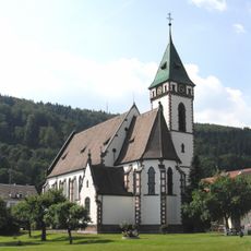
St. Josef, Hausen im Wiesental
7.3 km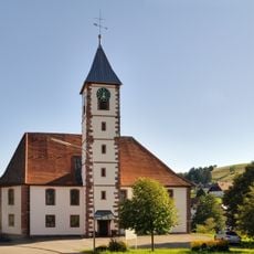
Evangelical Church
1.9 km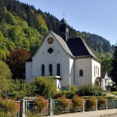
Mariä Himmelfahrt
4.1 km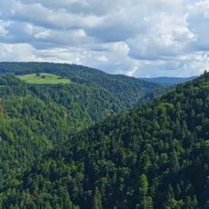
Bannwald Wehratal
5.1 km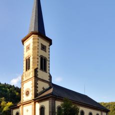
Altkatholische Kirche
5.8 km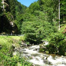
Wehratal
5.7 km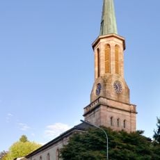
Lutheran Church
6 km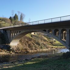
Kastler Brücke
6.2 km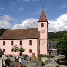
Evangelische Kirche Hasel
7 km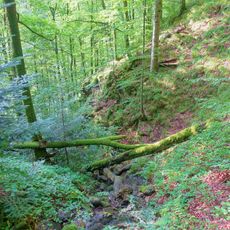
Weidfelder bei Gersbach und an der Wehra
3.9 km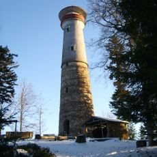
Hohe-Möhr-Tower
4.6 km
Hornberg
6.1 km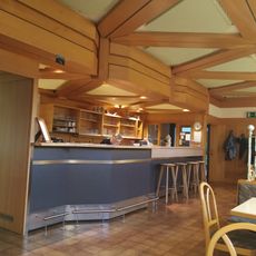
Wehratalhalle
6 km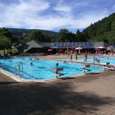
Freibad Aqua Treff
6.7 km
Wehratal
3.8 km
Gletscherkessel Präg und Weidfelder im Oberen Wiesental
6.7 kmReviews
Visited this place? Tap the stars to rate it and share your experience / photos with the community! Try now! You can cancel it anytime.
Discover hidden gems everywhere you go!
From secret cafés to breathtaking viewpoints, skip the crowded tourist spots and find places that match your style. Our app makes it easy with voice search, smart filtering, route optimization, and insider tips from travelers worldwide. Download now for the complete mobile experience.

A unique approach to discovering new places❞
— Le Figaro
All the places worth exploring❞
— France Info
A tailor-made excursion in just a few clicks❞
— 20 Minutes