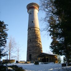
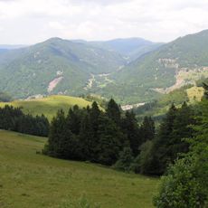
Zeller Blauen, Mountain summit in Black Forest, Germany.
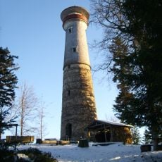
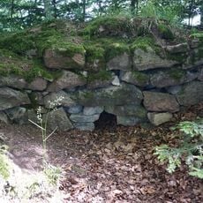
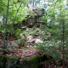
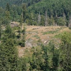
Zeller Blauen is a 1,077.1 m high mountain in the southern Black Forest above Zell im Wiesental. Its steep slopes to the south, west and east drop more than 600 metres to the Wiese valley, while a forested ridge runs north toward the Belchen, 10 kilometres away. Remains of Baroque-era earthworks lie along the southern flank.
The mountain appeared on historical maps from the late 18th century under the name 'auf dem hohen Blauen'. Military earthworks on the southern side show it once held strategic importance.
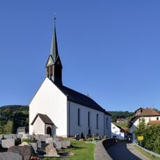
The name Hochblauen appears on the 1788 Black Forest map of St. Blaise Abbey as "auf dem hohen Blauen" and again in the 1846 Topographischer Atlas über das Grossherzogtum Baden. The same name is used for the Blauen mountain near Badenweiler, 12 km to the west-northwest. Hamlets on the western slope, Blauen and Oberblauen, belong to the Adelsberg parish of Zell im Wiesental.
The summit lies on the parish boundary of Zell's Pfaffenberg and Adelsberg districts, with the hamlets of Blauen and Oberblauen on the western slope at about 700 to 800 metres. A Tetra authority radio mast stands roughly 100 metres east of the top. Construction of the Zeller Blauen wind farm with two turbines is due to begin in November 2026.
The hamlets of Blauen and Oberblauen lie on the western slope at about 700 to 800 metres, in the Adelsberg parish, while the hamlet of Käsern sits on the north-eastern slope. Remains of Baroque-era earthworks run along the southern flank. A Tetra authority radio mast stands about 100 metres east of the summit.
The community of curious travelers
AroundUs brings together thousands of curated places, local tips, and hidden gems, enriched daily by 92,617 contributors worldwide.