Reinhardtsdorf Sandstone, Quarried sandstone in Reinhardtsdorf, Saxony, Germany.
Reinhardtsdorf sandstone is a sedimentary rock in shades of gray, white, and yellow, composed of fine to medium grains bonded by silica compounds. It is quarried from several sites in the region and used for various construction purposes.
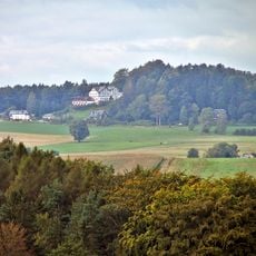
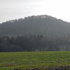
The stone formed during the middle Turonian period of the Cretaceous era, roughly 90 to 100 million years ago. These deposits now create the distinctive table mountains and rock formations of Saxon Switzerland.
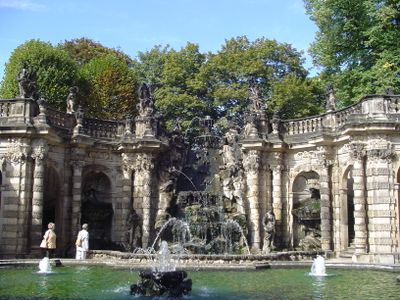
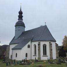
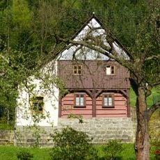
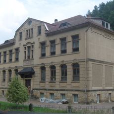
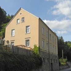
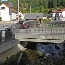
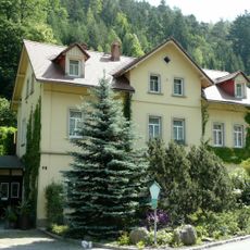
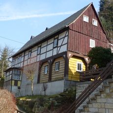
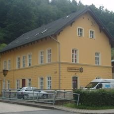
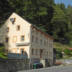
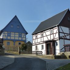
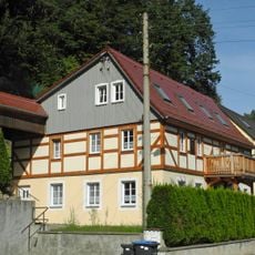
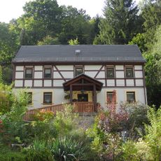
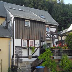
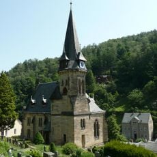
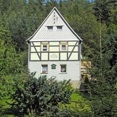
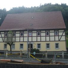
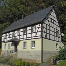
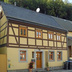
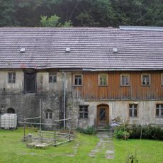
The stone shapes the distinctive rock formations throughout the Saxon Switzerland region and has been used for centuries in buildings and artworks. Quarrying traditions remain connected to local craftsmanship and regional identity.
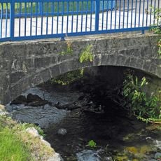
This stone is easy to work with and split, making it popular among craftspeople. It resists moisture and weather well, making it practical for outdoor construction projects.
Despite repeated freeze-thaw cycles, this material retains its structure and loses very little mass. This resilience explains why it has been chosen for monuments and exposed locations for generations.
GPS coordinates: 50.89749,14.17094
Latest update: December 14, 2025 17:02
Wolfsberg
1.3 km
Pflanzengarten Bad Schandau
1.2 km
Reinhardtsdorf Kirche
1.3 km
Kohlbornstein
1.1 km
Dorfkirche Krippen
1.1 km
Sachgesamtheit Dorfkirche und Kirchhof Reinhardtsdorf
1.3 km
Friedrich-Gottlob-Keller-Straße 78
733 m
Schule Friedrich-Gottlob-Keller-Straße 39
1.3 km
Alte Schule
1.1 km
Bogenbrücke über den Krippenbach Friedrich-Gottlob-Keller-Straße 63 (bei)
1 km
Bogenbrücke über den Krippenbach Friedrich-Gottlob-Keller-Straße 71 (bei)
902 m
Wohnhaus des Friedrich Gottlob Keller Friedrich-Gottlob-Keller-Straße 76
779 m
Berghangweg 17
1.3 km
Postgebäude Friedrich-Gottlob-Keller-Straße 56
1 km
Ehemaliges Armenhaus Friedrich-Gottlob-Keller-Straße 66
1.1 km
Dr.-Jacobi-Weg 5 Reinhardtsdorf
917 m
Wohnhaus Friedrich-Gottlob-Keller-Straße 64
1.1 km
Wohnhaus Friedrich-Gottlob-Keller-Straße 48
1.2 km
Wohnhaus Friedrich-Gottlob-Keller-Straße 27
1.4 km
Sachgesamtheit Ev. Pfarrkirche und Kirchhof Krippen mit folgenden Einzeldenkmalen: neoromanische Saalkirche mit Südwestturm, Kriegerdenkmal für die Gefallenen des Ersten Weltkrieges, Grabstätte F.G. Keller und Grufthaus (siehe Einzeldenkmalliste -
1.1 km
Wohnhaus Friedrich-Gottlob-Keller-Straße 79
702 m
Wohnhaus Friedrich-Gottlob-Keller-Straße 68
965 m
Wohnhaus Friedrich-Gottlob-Keller-Straße 71
880 m
Wohnhaus Friedrich-Gottlob-Keller-Straße 31
1.4 km
Schinkemühle Krippen
510 m
Wohnhaus in offener Bebauung Kleinhennersdorfer Straße 7
863 m
Wohnhaus Kleinhennersdorfer Straße 2
906 m
Wohnhaus in offener Bebauung Friedrich-Gottlob-Keller-Straße 73
847 mVisited this place? Tap the stars to rate it and share your experience / photos with the community! Try now! You can cancel it anytime.
Discover hidden gems everywhere you go!
From secret cafés to breathtaking viewpoints, skip the crowded tourist spots and find places that match your style. Our app makes it easy with voice search, smart filtering, route optimization, and insider tips from travelers worldwide. Download now for the complete mobile experience.
A unique approach to discovering new places❞
— Le Figaro
All the places worth exploring❞
— France Info
A tailor-made excursion in just a few clicks❞
— 20 Minutes