
Rehagen, human settlement in Germany
Location: Am Mellensee
Elevation above the sea: 39 m
GPS coordinates: 52.16750,13.36060
Latest update: April 8, 2025 18:04
Historisch-Technisches Museum – Versuchsstelle Kummersdorf
7.6 km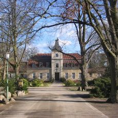
Kloster Alexanderdorf
1.9 km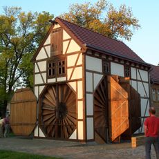
Scheunenmühle Saalow
3.3 km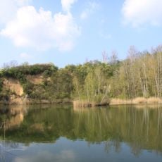
Sperenberger Gipsbrüche
3.7 km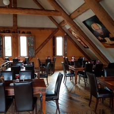
Restaurant Dachstuhl
5 km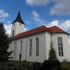
Village church Sperenberg
3 km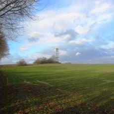
Gipsberg
3.2 km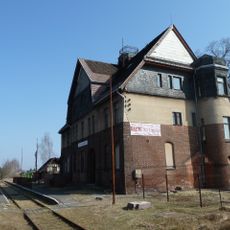
Sperenberg railway station
2.3 km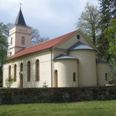
Dorfkirche Wünsdorf
6.7 km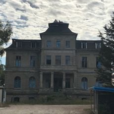
Gutshaus Sperenberg
3.8 km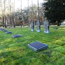
Lazarettfriedhof Saalow
2.7 km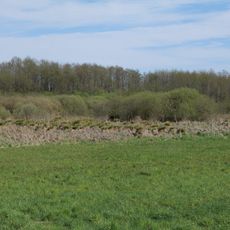
Horstfelder- und Hechtsee
6.3 km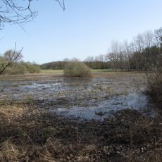
Gadsdorfer Torfstiche und Luderbusch
4.6 km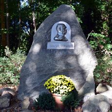
Bismarckstein Zossen
6.9 km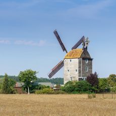
Paltrockmühle Saalow
3.1 km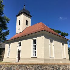
Dorfkirche Schünow
6.6 km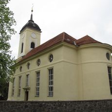
Dorfkirche
7.6 km
Kummersdorfer Heide/Breiter Steinbusch
5.5 km
Pfarrhaus Christinendorf
7.6 km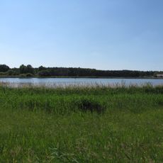
Mönninghausen
6 km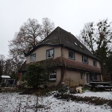
Wünsdorf, Seestraße 19
7.5 km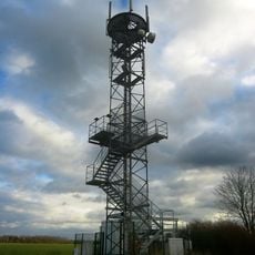
Gipsberg Observation Tower
3.2 km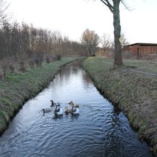
Nuthe, Hammerfließ und Eiserbach
3.7 km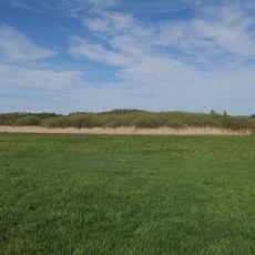
Horstfelder und Hechtsee
5.6 km
Gadsdorfer Torfstiche und Luderbusch
4.3 km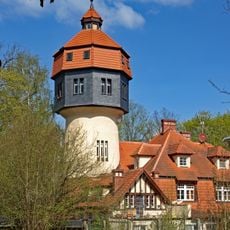
Wasserturm Rehagen
1.5 km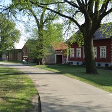
Naturdenkmal Ulme (Ulmus spec.) (Baum) Ortskern, vor Haus Nr. 8; Flur 2, Flurstück 8 in Lüdersdorf
5.5 km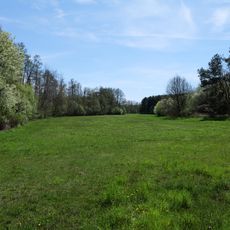
Wehrdamm/Mellensee/Kleiner Wünsdorfer See
5.5 kmReviews
Visited this place? Tap the stars to rate it and share your experience / photos with the community! Try now! You can cancel it anytime.
Discover hidden gems everywhere you go!
From secret cafés to breathtaking viewpoints, skip the crowded tourist spots and find places that match your style. Our app makes it easy with voice search, smart filtering, route optimization, and insider tips from travelers worldwide. Download now for the complete mobile experience.

A unique approach to discovering new places❞
— Le Figaro
All the places worth exploring❞
— France Info
A tailor-made excursion in just a few clicks❞
— 20 Minutes