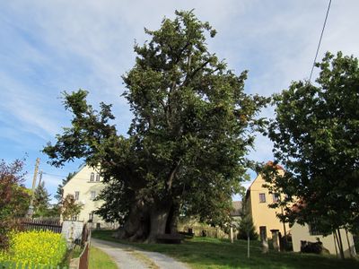
Schmorsdorfer Linde, Natural monument and lime tree in Schmorsdorf, Müglitztal, Germany
The Schmorsdorfer Linde is a notable lime tree that defines Schmorsdorf in Müglitztal. This monument features an exceptionally thick trunk and substantial height, with a museum building beside it that documents its story.
First written accounts of this tree appeared in 1630 during the Thirty Years' War period. It has endured centuries of change and remains a living record of the region's past.
The tree serves as the focal point of village identity and carries the name of its home settlement. Visitors can observe how a gathering place for the community has formed around this landmark over generations.
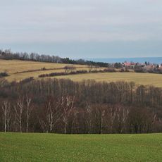
The location is central and easily accessible on foot, with several walking trails departing from this point. The area is well signposted and suitable for visitors of varying fitness levels.
Composer Clara Schumann visited this tree multiple times in the early 19th century, deepening the musical connection to the region. A museum beside the tree preserves memories of her visits.
The community of curious travelers
AroundUs brings together thousands of curated places, local tips, and hidden gems, enriched daily by 60,000 contributors worldwide.