
Waltersleben, human settlement in Germany
Location: Erfurt
Elevation above the sea: 289 m
GPS coordinates: 50.91500,11.02560
Latest update: March 5, 2025 22:53

Schloss Molsdorf
4.8 km
Thüringenhalle
4.8 km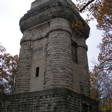
Bismarck Tower
4.1 km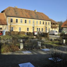
Lapidarium Willrode
4.5 km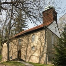
St. Elisabeth (Stedten an der Gera)
3.4 km
Sender Erfurt
4.9 km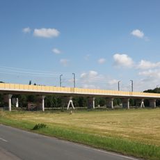
Geratalbrücke Bischleben
4 km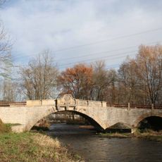
Marienthalbrücke
4.4 km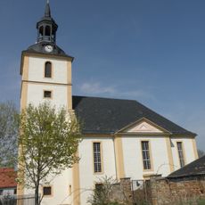
St. Trinitatis
4.9 km
Parkstraße 3
5 km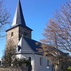
St. Laurentius (Kirchheim)
3.5 km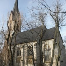
Johanneskirche Hochheim
4.9 km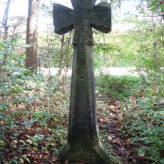
Steigerkreuz
2.9 km
St. Matthias (Eischleben)
3.9 km
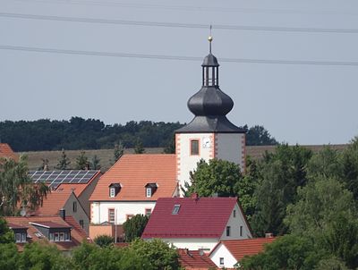
St. Nikolai (Waltersleben)
220 m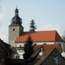
Benignus of Dijon Church (Bischleben)
3.3 km
Protestant Church (Möbisburg)
2.7 km
Holy Trinity Church (Bechstedt-Wagd)
2.9 km
Saint Elisabeth of Hungary Church (Rockhausen)
1.9 km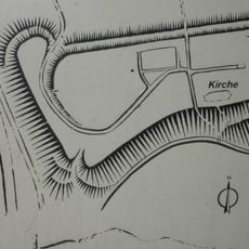
Wallanlage Kirchberg in Möbisburg
2.7 km
Steigerwald
3.6 km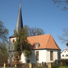
St. Georg (Werningsleben)
3.9 km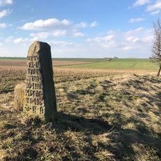
Brunstein
4.9 km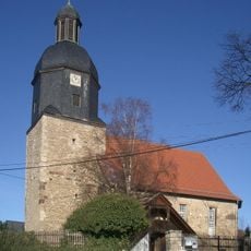
St. Michael (Egstedt)
2.1 km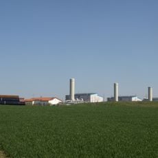
Eischleben compressor station
1.9 km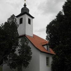
Protestant Church Erfurt - Rhoda
2.1 km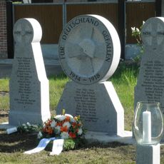
War memorial Eischleben
4 km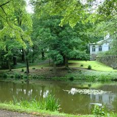
Molsdorfer Schloßpark
4.8 kmReviews
Visited this place? Tap the stars to rate it and share your experience / photos with the community! Try now! You can cancel it anytime.
Discover hidden gems everywhere you go!
From secret cafés to breathtaking viewpoints, skip the crowded tourist spots and find places that match your style. Our app makes it easy with voice search, smart filtering, route optimization, and insider tips from travelers worldwide. Download now for the complete mobile experience.

A unique approach to discovering new places❞
— Le Figaro
All the places worth exploring❞
— France Info
A tailor-made excursion in just a few clicks❞
— 20 Minutes