
Welle, human settlement in Stendal, Germany
Location: Stendal
Elevation above the sea: 56 m
GPS coordinates: 52.53704,11.84871
Latest update: March 15, 2025 14:09

St. Nicolas Church
7.1 km
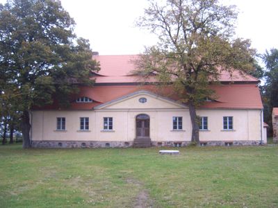
Gutshaus Döbbelin
5.7 km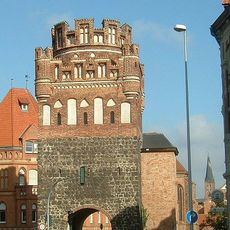
Tangermünder Tor
7.1 km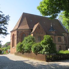
St. Anna
7.3 km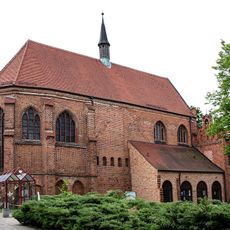
St. Katharinen
7.1 km
Röxer Tunnel
6.5 km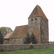
Protestant Church Buchholz (Altmark)
4.2 km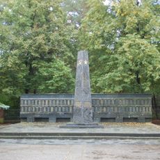
Sowjetischer Ehrenfriedhof Stendal
4.8 km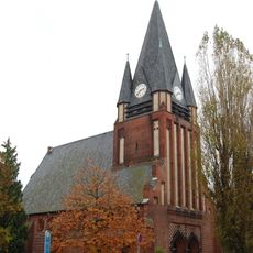
Lutherkirche
5.9 km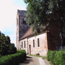
Protestant Church Miltern
6.1 km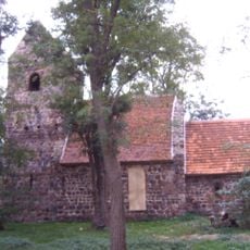
Church Welle
93 m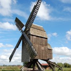
Tornauer Windmühle
6.8 km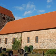
Dorfkirche Heeren
2.7 km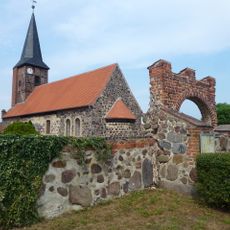
Protestant Church Bindfelde
6.8 km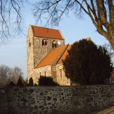
Dorfkirche Dahlen
3.1 km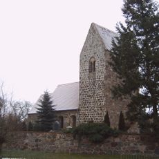
Dorfkirche Gohre
3.5 km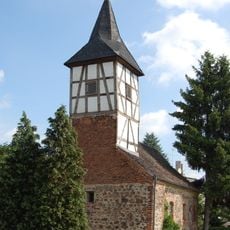
Alte Dorfkirche Röxe
6 km
Elsholzwiesen
7.1 km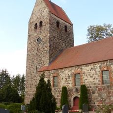
Protestant Church (Bellingen)
3.1 km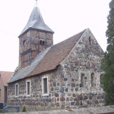
Dorfkirche Dahrenstedt
1.2 km
Dorfkirche Insel
7.1 km
Christuskirche
6.1 km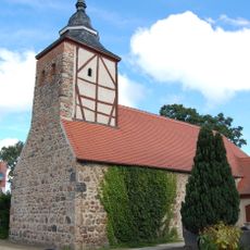
Dorfkirche Döbbelin
5.8 km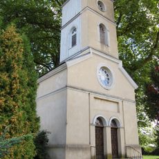
Dorfkirche Tornau
6.6 km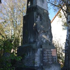
Kriegerdenkmal Miltern
6.2 km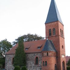
Protestant Church (Hüselitz)
4.2 km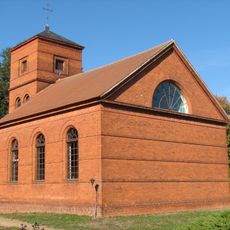
Protestant Church Bölsdorf
6 km
Protestant Church Elversdorf
3.1 kmVisited this place? Tap the stars to rate it and share your experience / photos with the community! Try now! You can cancel it anytime.
Discover hidden gems everywhere you go!
From secret cafés to breathtaking viewpoints, skip the crowded tourist spots and find places that match your style. Our app makes it easy with voice search, smart filtering, route optimization, and insider tips from travelers worldwide. Download now for the complete mobile experience.

A unique approach to discovering new places❞
— Le Figaro
All the places worth exploring❞
— France Info
A tailor-made excursion in just a few clicks❞
— 20 Minutes