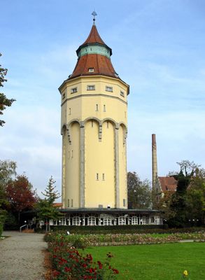
Wasserturm, Water tower in Rastatt, Germany.
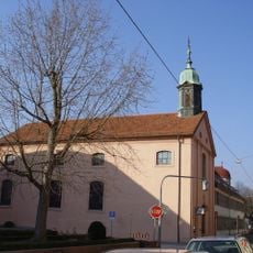
The Wasserturm is a brick structure featuring a large elevated reservoir that distributed water throughout Rastatt. The building contains multiple levels, with lower sections adapted over time to serve public functions such as dining and social gatherings.
Built in 1901, the tower addressed the growing water demands of an expanding Rastatt during a period of rapid industrial development. Its construction reflected the city's shift toward modern infrastructure systems that could support the population and businesses moving to the area.
This water tower became a gathering place for residents and visitors, hosting social events and dining activities that shaped local life for generations. Its role extended beyond pure infrastructure to become a cherished community landmark that residents identified with their city.
The tower stands in the town center and is easily reached on foot, visible from various streets in the area. The location offers good accessibility, with parking available nearby for those arriving by car.
During the 1950s, a cafe and restaurant were built into the mid-level of this water storage structure, transforming it from pure infrastructure into a lively public meeting space. This unexpected repurposing allowed visitors to dine and enjoy city views simultaneously, blending two functions in an imaginative way.
The community of curious travelers
AroundUs brings together thousands of curated places, local tips, and hidden gems, enriched daily by 60,000 contributors worldwide.